Xalbal River
| Xalbal River/Xaclbal River | |
|---|---|
 Xalbal River | |
| Country | Guatemala, Mexico |
| Physical characteristics | |
| Main source |
Guatemala (El Quiché) |
| River mouth | Tributary of the Usumacinta River |

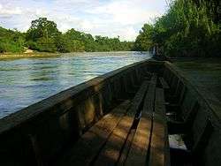
The Xalbal River (Spanish pronunciation: [ʃalˈβal]) is a river of Guatemala. Its sources are in the Sierra de los Cuchumatanes (at 15°29′52″N 91°07′58″W / 15.497769°N 91.132793°W) in the department of El Quiché, where the river is called Río Xaclbal or Río Chajul. The Xaclbal river flows northwards down the tropical lowlands of Ixcan where it is called Río Xalbal (at 15°57′17″N 90°55′31″W / 15.954727°N 90.925255°WCoordinates: 15°57′17″N 90°55′31″W / 15.954727°N 90.925255°W), and crosses the border with Mexico, where it joins the Lacantún River, a tributary of the Usumacinta river. The Guatemalan part of Xaclbal river basin covers an area of 1,366 square kilometres (527 sq mi).[1]
The village of Xalbal, named after the river, suffered a massacre in 1982. The village was abandoned in March 1982.[2]
References
- ↑ INSIVUMEH. "Principales ríos de Guatemala". Retrieved June 24, 2008.
- ↑ Journeys of Fear: Refugee Return and National Transformation in Guatemala pp.104, Retrieved February 24, 2008
External links