Woolford Provincial Park
| Woolford Provincial Park | |
|---|---|
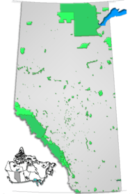
 Location of Woolford Provincial Park in Alberta | |
| Location |
Cardston County, |
| Nearest city | Cardston |
| Coordinates | 49°10′41″N 113°11′28″W / 49.17806°N 113.19111°WCoordinates: 49°10′41″N 113°11′28″W / 49.17806°N 113.19111°W |
| Area | 0.4 km2 (0.15 sq mi) |
| Governing body | Alberta Tourism, Parks and Recreation |
Woolford Provincial Park is a provincial park in Alberta, Canada, located 17.5 km (10.9 mi) east of Cardston, west of Highway 503.
The park is situated along St. Mary River at an elevation of 1,130 m (3,710 ft) and has a surface of 0.4 km2 (0.15 sq mi).
Activities
The following activities are available in the park:[1]
- Canoeing and kayaking
- Fishing for westslope cutthroat trout, rainbow trout, pike and walleye in the St. Mary River
- Front country hiking on trails maintained in the St. Mary River valley
- Wildlife viewing
See also
References
- ↑ Alberta Tourism, Parks, Recreation & Culture. "Activities in Woolford Provincial Park". Retrieved 2007-07-20.
External links
- Alberta Tourism, Parks, Recreation & Culture. "Woolford Provincial Park". Retrieved 2007-07-20.
This article is issued from
Wikipedia.
The text is licensed under Creative Commons - Attribution - Sharealike.
Additional terms may apply for the media files.