Woodsford
| Woodsford | |
|---|---|
 Woodsford Castle | |
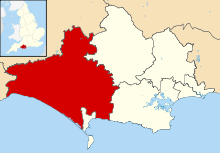
 Woodsford Woodsford shown within Dorset | |
| Population | 80 (2013 estimate) |
| OS grid reference | SY762905 |
| Civil parish |
|
| District | |
| Shire county | |
| Region | |
| Country | England |
| Sovereign state | United Kingdom |
| Post town | Dorchester |
| Postcode district | DT2 |
| Dialling code | 01305 |
| Police | Dorset |
| Fire | Dorset and Wiltshire |
| Ambulance | South Western |
| EU Parliament | South West England |
| UK Parliament | |
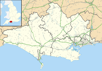
Woodsford is a village and civil parish beside the River Frome, Dorset, England, about 4 miles (6.4 km) east of the county town Dorchester. Dorset County Council's 2013 mid-year estimate of the parish population is 80.
Manor
The Domesday Book of 1086 records the manor as Waredesford,[1] which the 18th-century historian John Hutchins interpreted as meaning a ford across the Varia, an alternative name for the River Frome. More recent opinion is that Waredesford referred to a ford belonging to a man named Weard. Two holdings were recorded, which have been interpreted as corresponding to East Woodsford (the current village) and West Woodsford (now Woodsford Castle).[2]
Woodsford Castle is the surviving range of a 14th-century fortified manor house. King Edward III granted William de Whitefield a licence to crenellate in 1335. The house has the largest thatched roof in the county[3] and has been restored by the Landmark Trust.[4] The house is a Grade I listed building[5]
Parish church
The Church of England parish church of St John the Baptist was 13th-century, but was largely rebuilt in 1862–63 to designs by the Gothic Revival architect Thomas Henry Wyatt. Remnants of the 13th-century church include the lower part of the west tower and an Early English Gothic lancet on the south side of the nave west of the south porch.[6] The parish is part of the Benefice of Moreton, Woodsford and Crossways with Tincleton.[7]
Economic history
In the Frome Valley at Woodsford there used to be a system of watermeadows.[8]
Demography
Dorset County Council's 2013 mid-year estimate of the parish population is 80.[9] The 2001 Census recorded the parish's population as 67.[10] In the 2011 census figures for Woodsford parish have been combined with those of neighbouring Tincleton parish; the population in this combined area was 236.[11]
References

- ↑ Open Domesday: Woodford
- ↑ RCHME 1970, pp. 397–402.
- ↑ Rodger, MA (February 2009). "Some Lost Castles Of Dorset". Dorset Life. Retrieved 28 November 2013.
- ↑ "Woodsford Castle". Landmark Trust. Retrieved 20 May 2016.
- ↑ Historic England. "Woodsford Castle (Grade I) (1155314)". National Heritage List for England. Retrieved 1 September 2015.
- ↑ Historic England. "Church of Saint John the Baptist (Grade II) (1155283)". National Heritage List for England. Retrieved 1 September 2015.
- ↑ Archbishops' Council. "Benefice of Moreton, Woodsford and Crossways with Tincleton". A Church Near You. Church of England. Retrieved 1 September 2015.
- ↑ Wightman 1983, p. 49.
- ↑ "Parish Population Data". Dorset County Council. 20 January 2015. Retrieved 21 March 2015.
- ↑ "Area selected: South West (Region): Parish Headcounts". Neighbourhood Statistics. Office for National Statistics. Retrieved 1 September 2015.
- ↑ "Area: Tincleton (Parish). Key Figures for 2011 Census: Key Statistics". Neighbourhood Statistics. Office for National Statistics. Retrieved 4 September 2015.
Sources
- Newman, John; Pevsner, Nikolaus (1972). Dorset. The Buildings of England. Harmondsworth: Penguin Books. pp. 494–495. ISBN 0-14-071044-2.
- RCHME, ed. (1970). "Woodsford". An Inventory of the Historical Monuments in the County of Dorset. 2 – South East. London: Royal Commission on the Historical Monuments of England. pp. 397–402.
- Wightman, Ralph (1983) [1965]. Portrait of Dorset. Portrait Books (4 ed.). London: Robert Hale. p. 49. ISBN 0-7090-0844-9.
External links
| Wikimedia Commons has media related to Woodsford. |