Winterbourne Bassett
| Winterbourne Bassett | |
|---|---|
 Farmland near Hackpen White Horse | |
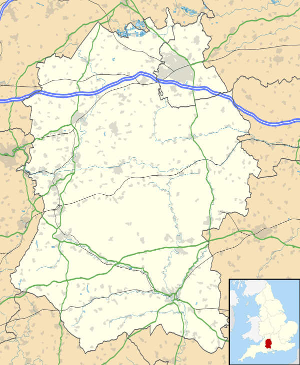
 Winterbourne Bassett Winterbourne Bassett shown within Wiltshire | |
| Population | 159 (in 2011)[1] |
| OS grid reference | SU102749 |
| Civil parish |
|
| Unitary authority | |
| Ceremonial county | |
| Region | |
| Country | England |
| Sovereign state | United Kingdom |
| Post town | Swindon |
| Postcode district | SN4 |
| Dialling code | 01793 |
| Police | Wiltshire |
| Fire | Dorset and Wiltshire |
| Ambulance | South Western |
| EU Parliament | South West England |
| UK Parliament | |
Winterbourne Bassett is a small village and civil parish in Wiltshire, England, about 6 miles (10 km) southwest of Swindon and 7 miles (11 km) northwest of Marlborough.
Local government
Winterbourne Bassett elects a joint parish council with the larger adjacent parish of Broad Hinton - see Broad Hinton and Winterbourne Bassett. It falls within the area of the Wiltshire Council unitary authority, which is responsible for all significant local government functions.
Amenities
The 14th-century Church of England parish church of St Katherine and St Peter is Grade I listed.[2][3]
A Methodist chapel was built in 1904 and sold in 1960.[4]
There was a small school in the village from 1875 to 1966; primary school children now go to Broad Hinton.[5]
The village has a public house and restaurant called The White Horse.[6]
References
- ↑ "Wiltshire Community History - Census". Wiltshire Council. Retrieved 12 September 2014.
- ↑ Historic England. "Church of St Katherine and St Peter (1284298)". National Heritage List for England. Retrieved 27 July 2015.
- ↑ "Church of St. Katherine and St. Peter, Winterbourne Bassett". Wiltshire Community History. Wiltshire Council. Retrieved 27 July 2015.
- ↑ "Methodist Chapel, Winterbourne Bassett". Wiltshire Community History. Wiltshire Council. Retrieved 27 July 2015.
- ↑ "Winterbourne Bassett School". Wiltshire Community History. Wiltshire Council. Retrieved 27 July 2015.
- ↑ "Welcome to the White Horse". Retrieved 12 September 2014.
Sources
- Wiltshire County Council Website page on Winterbourne Bassett, retrieved 8 October 2004
- Map 'Explorer 157', published by the Ordnance Survey, ISBN 0-319-21782-5, revised 1997.
External links
![]()