Whitehorse/Cousins Airport
| Whitehorse/Cousins Airport | |||||||||||
|---|---|---|---|---|---|---|---|---|---|---|---|
 Runway 30 | |||||||||||
| Summary | |||||||||||
| Airport type | Public | ||||||||||
| Operator | Government of Yukon | ||||||||||
| Location | Whitehorse, Yukon | ||||||||||
| Time zone | PST (UTC−08:00) | ||||||||||
| • Summer (DST) | PDT (UTC−07:00) | ||||||||||
| Elevation AMSL | 2,200 ft / 671 m | ||||||||||
| Coordinates | 60°48′29″N 135°10′36″W / 60.80806°N 135.17667°WCoordinates: 60°48′29″N 135°10′36″W / 60.80806°N 135.17667°W | ||||||||||
| Map | |||||||||||
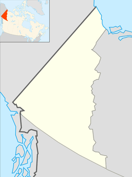 CFP8 Location in Yukon | |||||||||||
| Runways | |||||||||||
| |||||||||||
|
Source: Canada Flight Supplement[1] | |||||||||||
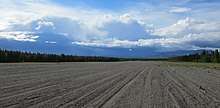
Whitehorse/Cousins Airport (TC LID: CFP8) is an unpaved airstrip located in Whitehorse, Yukon, Canada, 8 nautical miles (15 km; 9.2 mi) northwest of the city centre between the Alaska Highway and the Yukon River. This airport has no services at all, and is used primarily as an emergency landing area and for local pilot training. Vehicles enter via Cousins Access Road. The airport was built to support the Alaska Highway construction and the Northwest Staging Route.
See also
References
- ↑ Canada Flight Supplement. Effective 0901Z 19 July 2018 to 0901Z 13 September 2018.
External links
| By name | |
|---|---|
| By location indicator | |
| By province/territory | |
| By area | |
| National Airports System | |
| Related | |
| |
This article is issued from
Wikipedia.
The text is licensed under Creative Commons - Attribution - Sharealike.
Additional terms may apply for the media files.