Werur
| Werur Mar | |
|---|---|
| Village | |
 | |
 Werur 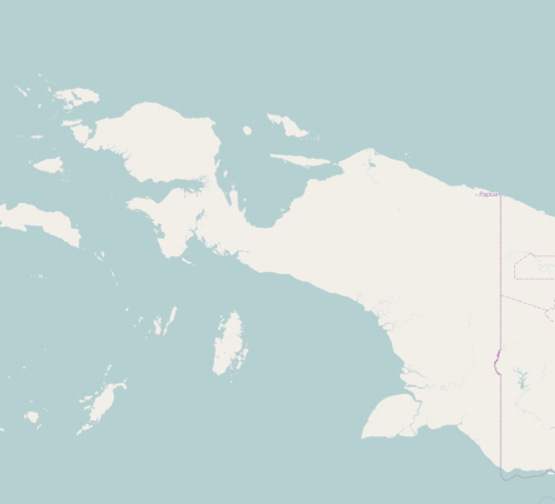 Werur Werur (Western New Guinea)  Werur Werur (Indonesia) | |
| Coordinates: 0°27′0″S 132°10′19″E / 0.45000°S 132.17194°ECoordinates: 0°27′0″S 132°10′19″E / 0.45000°S 132.17194°E | |
| Country |
|
| Province | West Papua |
| Regency | Tambrauw Regency |
| district | Bikar |
| Area | |
| • Total | 119 km2 (46 sq mi) |
| Population (2010) | |
| • Total | 313 |
| • Density | 7.3/km2 (19/sq mi) |
| Time zone | UTC+9 (WIT) |
| • Summer (DST) | UTC0°27'0"S, 132°10'19"E |
Werur (also known as Mar) [1] is a village in Bikar, Tambrauw Regency of West Papua, Indonesia.and had a population of 313 at the 2010 Census.[2] The Village is located on the northern coast of the Bird's Head Peninsula, also known as the Vogelkop Peninsula.[3]
References
- ↑ Harper Encyclopedia of Military Biography; Dupuy; HarperCollins 1992; pages=462
- ↑ https://tambrauwkab.bps.go.id/
- ↑ Google Maps (Map). Google.
|access-date=requires|url=(help)
This article is issued from
Wikipedia.
The text is licensed under Creative Commons - Attribution - Sharealike.
Additional terms may apply for the media files.