Wentnor
| Wentnor | |
|---|---|
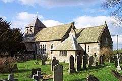 St. Michael and All Angels church, Wentnor | |
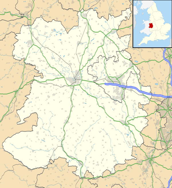 Wentnor Wentnor shown within Shropshire | |
| Population | 346 (2011)[1] |
| OS grid reference | SO382927 |
| Civil parish |
|
| Unitary authority | |
| Ceremonial county | |
| Region | |
| Country | England |
| Sovereign state | United Kingdom |
| Post town | Bishop's Castle |
| Postcode district | SY9 |
| Dialling code | 01588 |
| Police | West Mercia |
| Fire | Shropshire |
| Ambulance | West Midlands |
| EU Parliament | West Midlands |
| UK Parliament | |
Wentnor is a village and civil parish in Shropshire, England.
It lies to the west of the Long Mynd and between the village and the hill range is the dispersed settlement of Prolly Moor. The village itself is situated atop a hill, which rises to 269 metres (883 ft) above sea level, with the Criftin Brook to the east and the River East Onny to the west.[2] The nearest towns are Church Stretton and Bishop's Castle, the village of Asterton lies 1 mile to the south east of the village.
There is a parish church and two public houses: the "Crown" in the village itself and the "Inn on the Green" which is in a hamlet, just outside the village, by the River East Onny called The Green.[3]
Transport
The village no longer has a local bus service, Church Stretton railway station is 6 miles away and provides regular rail services to South Wales and the North.
References
| Wikimedia Commons has media related to Wentnor. |
- ↑ "Civil Parish population 2011". Retrieved 22 November 2015.
- ↑ Ordnance Survey mapping
- ↑ Shropshire Pub Survey Wentnor