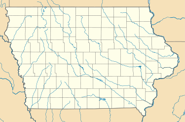
Waubeek, Iowa
| Waubeek, Iowa | |
|---|---|
| unincorporated community | |
 Waubeek, Iowa Location of Waubeek, Iowa  Waubeek, Iowa Waubeek, Iowa (the US) | |
| Coordinates: Coordinates: 42°09′57″N 91°27′55″W / 42.16583°N 91.46528°W | |
| Country |
|
| State |
|
| County | Linn County |
| Elevation | 255 m (837 ft) |
| Time zone | UTC-6 (Central (CST)) |
| • Summer (DST) | UTC-5 (CDT) |
| Area code(s) | 319 |
| GNIS feature ID | 462744 |
Waubeek is an unincorporated community in Linn County, Iowa, United States. It is located on the Wapsipinicon River on County Road X20 (Whittier Road) north of Whittier, Iowa and southwest of Prairieburg, at 42.164779N, -91.462265W.[1]
History
An earlier town, named Paddington was laid out adjacent and to the South of Waubeek in 1855. That area was included with Waubeek, when Waubeek was formally founded on October 28, 1859.[2]
References
- ↑ "US Gazetteer files: 2010, 2000, and 1990". United States Census Bureau. 2011-02-12. Retrieved 2011-04-23.
- ↑ Savage, Tom (2007). A Dictionary of Iowa Place-Names, p. 230. University Of Iowa Press. ISBN 1-58729-531-8.
This article is issued from
Wikipedia.
The text is licensed under Creative Commons - Attribution - Sharealike.
Additional terms may apply for the media files.