Watersmeet, Michigan
| Watersmeet, Michigan | |
|---|---|
| Census-designated place | |
 Watersmeet  Watersmeet | |
| Coordinates: 46°16′4″N 89°10′41″W / 46.26778°N 89.17806°WCoordinates: 46°16′4″N 89°10′41″W / 46.26778°N 89.17806°W | |
| Country | United States |
| State | Michigan |
| County | Gogebic |
| Township | Watersmeet |
| Government | |
| • Type | None (see: Township) |
| Area | |
| • Total | 9.20 sq mi (23.84 km2) |
| • Land | 9.20 sq mi (23.83 km2) |
| • Water | 0.004 sq mi (0.01 km2) |
| Elevation | 1,598 ft (487 m) |
| Population (2010) | |
| • Total | 428 |
| • Density | 47/sq mi (18.0/km2) |
| Time zone | UTC-6 (Central (CST)) |
| • Summer (DST) | UTC-5 (EDT) |
| ZIP code | 49969 |
| Area code(s) | 906 |
| FIPS code | 26-84360[1] |
| GNIS feature ID | 1622065[2] |
Watersmeet is an unincorporated community and census-designated place (CDP) in Watersmeet Township, Gogebic County, Michigan, in the United States. As of the 2010 census, the CDP had a population of 428,[1] out of a total population in the township of 1,417. The community was platted in 1884, designated as a station of the Chicago, St. Paul, Minneapolis & Omaha Railways.[3]
The community is located in the northern part of Watersmeet Township, in the western part of Michigan's Upper Peninsula, at the confluence of Duck Creek with the Middle Branch of the Ontonagon River. U.S. Routes 2 and 45 cross at the southern edge of town; US 2 leads southeast 30 miles (48 km) to Iron River and northwest 41 miles (66 km) to Wakefield, while US 45 leads north 46 miles (74 km) to Ontonagon on Lake Superior and south 26 miles (42 km) to Eagle River, Wisconsin.
According to the U.S. Census Bureau, the Watersmeet CDP has an area of 9.2 square miles (23.8 km2), of which 0.004 square miles (0.01 km2), or 0.06%, is water.[1]
References
- 1 2 3 "Geographic Identifiers: 2010 Demographic Profile Data (G001): Watersmeet CDP, Michigan". American Factfinder. U.S. Census Bureau. Retrieved December 19, 2016.
- ↑ U.S. Geological Survey Geographic Names Information System: Watersmeet, Michigan
- ↑ Chicago and North Western Railway Company (1908). A History of the Origin of the Place Names Connected with the Chicago & North Western and Chicago, St. Paul, Minneapolis & Omaha Railways. p. 136.
Municipalities and communities of Gogebic County, Michigan, United States | ||
|---|---|---|
| Cities | 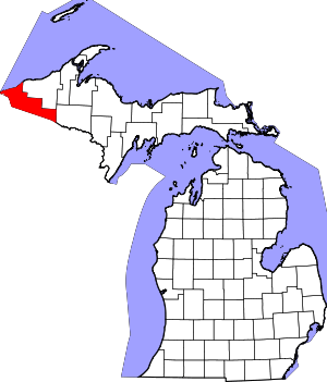 | |
| Charter township | ||
| General law townships | ||
| CDPs | ||
| Other unincorporated communities | ||
| Indian reservation | ||