Washita National Wildlife Refuge
| Washita National Wildlife Refuge | |
|---|---|
|
IUCN category IV (habitat/species management area) | |
 | |
 Map of the United States | |
| Location | Custer County, Oklahoma, United States |
| Nearest city | Butler, Oklahoma |
| Coordinates | 35°36′30″N 99°15′02″W / 35.60838°N 99.25065°W[1]Coordinates: 35°36′30″N 99°15′02″W / 35.60838°N 99.25065°W[2] |
| Area | 8,075 acres (32.68 km2) |
| Established | 1961 |
| Governing body | U.S. Fish and Wildlife Service |
| Website | Washita National Wildlife Refuge |
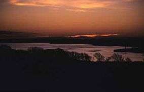
Washita National Wildlife Refuge is a National Wildlife Refuge of the United States located in Custer County, Oklahoma. Within the refuge, the slow-moving Washita River winds through prairie and cropland to merge with Foss Reservoir, providing a home and resting area for geese and other waterfowl. Gently rolling hills, ravines, and bottomlands laced with creeks shelter wildlife as common as white-tailed deer and as unusual as the Texas horned lizard, a state-listed endangered species.
References
![]()
This article is issued from
Wikipedia.
The text is licensed under Creative Commons - Attribution - Sharealike.
Additional terms may apply for the media files.