Warmandi
| Warmandi | |
|---|---|
| Village | |
 Warmandi Location of the village in the Bird's Head Peninsula | |
| Coordinates: 0°22′S 132°39′E / 0.367°S 132.650°ECoordinates: 0°22′S 132°39′E / 0.367°S 132.650°E | |
| Country |
|
| Province | West Papua |
| Time zone | UTC+7 (WIB) |
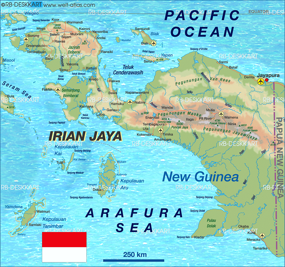
Warmandi is the district capital of Abun in Tambrauw, West Papua, Indonesia.[1] The village is located on the northern coast of the Bird's Head Peninsula.[2]
References
- ↑ Peta Administrasi Kabupaten Tamburauw [Administrative Map of the Regency of Tambrauw] (Map). 1:350,000 (in Indonesian).
- ↑ Welt Atlas
This article is issued from
Wikipedia.
The text is licensed under Creative Commons - Attribution - Sharealike.
Additional terms may apply for the media files.