Wallace River (Nova Scotia)
| Wallace | |
| River | |
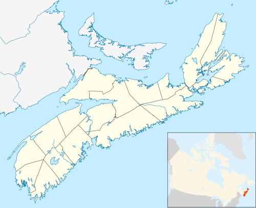 Location of the mouth of the Wallace River | |
| Country | Canada |
|---|---|
| Province | Nova Scotia |
| Source | Dicks Meadows[1] |
| - location | Cobequid Mountains |
| - elevation | 350 m (1,148 ft) |
| - coordinates | 45°33′25.50″N 63°34′1.78″W / 45.5570833°N 63.5671611°W |
| Mouth | Wallace Bay |
| - location | Wallace Bridge |
| - elevation | 0 m (0 ft) |
| - coordinates | 45°48′47.7252″N 63°30′57.89″W / 45.813257000°N 63.5160806°W |
| Length | 45.5 km (28 mi) |
| Basin | 394 km2 (152 sq mi) |
The Wallace River is a river running mostly through Cumberland County, Nova Scotia, Canada.[2]
References
- ↑ "Dicks Meadows". Geographical Names Board of Canada. Natural Resources Canada. Retrieved 2 January 2017.
- ↑ "Wallace River". Geographical Names Board of Canada. Natural Resources Canada. Retrieved 1 January 2017.
This article is issued from
Wikipedia.
The text is licensed under Creative Commons - Attribution - Sharealike.
Additional terms may apply for the media files.