Vurra–Arua–Koboko–Oraba Road
| Vurra–Arua–Koboko–Oraba Road | |
|---|---|
| Route information | |
| Length | 57 mi (92 km) |
| History |
Designated in 2012 Expected completion in 2015 |
| Major junctions | |
| South end | Vurra |
|
Arua Koboko | |
| North end | Oraba |
Vurra–Arua–Koboko–Oraba Road is a road in the Northern Region of Uganda, connecting the towns of Vurra at the International border with the Democratic Republic of the Congo with the towns of Arua, Koboko, and Oraba at the International border with the Republic of South Sudan.[1]
Location
The road starts at Vurra, and continues northwards through Arua and Koboko, ending in Oraba, a distance of approximately 92 kilometres (57 mi).[2] The road connects the countries of DRC, Uganda and South Sudan.[3] The coordinates of the road near Koboko are:3°24'54.0"N, 30°57'36.0"E (Latitude:3.4150; Longitude:30.9600).[4]
Upgrading to bitumen
The government of Uganda earmarked this road for upgrading through the conversion of the existing gravel road to bitumen surface and the building of bridges and drainage channels. Bids for engineering consultants were announced on 16 November 2009.[3] Construction was flagged off on Friday, 11 May 2012 by president Museveni. The construction tender was awarded to Chongqing International Construction Corporation (CICO) who were expected to carry out the works over a 36 months period, at a cost of UGX:132 billion (approx.US $52.8 million at that time), borrowed from the World Bank.[5] Having failed to meet the construction deadline of 31 December 2014,[1] the road remains unfinished as at July 2015.[6]
See also
References
- 1 2 Batre, Ronald (19 December 2014). "UNRA Fails To Beat December Deadline for Vurra-Arua-Koboko-Oraba Road". Uganda Radio Network. Retrieved 1 July 2015.
- ↑ "Approximate Road Distance Between Vurra And Oraba With Map". Globefeed.com. Retrieved 1 July 2015.
- 1 2 Devex, . (16 November 2009). "Transport Sector Development Project In Uganda: Construction Supervision of The Vurra-Arua-Koboko-Oraba Road Upgrading". Devex.com. Retrieved 1 July 2015.
- ↑ Google (1 July 2015). "Location of Vurra–Arua–Koboko–Oraba Road At Koboko" (Map). Google Maps. Google. Retrieved 1 July 2015.
- ↑ USHMU, . (11 May 2012). "Use The Road for Making Wealth – President Urges West Nile People". Uganda State House Media Unit (USHMU). Retrieved 1 July 2015.
- ↑ UNRA, . "Uganda National Roads Authority: Major Ongoing Projects As At 1 July 2015". Uganda National Roads Authority (UNRA). Retrieved 1 July 2015.
External links
Capital: Koboko | ||
| Counties and sub-counties | Koboko County |  |
| Towns and villages | ||
| Economy | ||
| Transport | ||
| Notable landmarks |
| |
| Notable people | ||
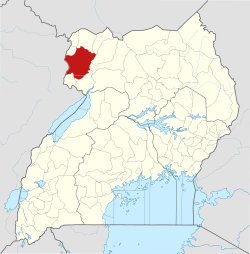
Capital: Maracha | ||
| Counties and sub-counties | Maracha County | 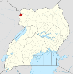 |
| Towns and villages |
| |
| Transport | ||
| Notable people |
| |
Capital: Arua | ||
| Counties and sub-counties |
|  |
| Towns and villages | ||
| Economy |
| |
| Energy |
| |
| Notable landmarks |
| |
| Education | ||
| Transport |
| |
| Health | ||
| Notable people |
| |