Vrmac
| Vrmac | |
|---|---|
.jpg) Vrmac (central), as observed from Mount Lovćen | |
| Highest point | |
| Elevation | 785 m (2,575 ft) |
| Coordinates | 42°26′56″N 18°43′41″E / 42.4489°N 18.7280°ECoordinates: 42°26′56″N 18°43′41″E / 42.4489°N 18.7280°E |
| Geography | |
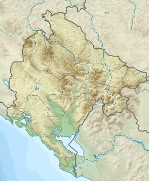 Vrmac Location in Montenegro | |
| Location | Montenegro |
| Parent range | Lovćen |
Vrmac (Montenegrin: Врмац) is a mountain in south-western Montenegro, overlooking the coastal town of Tivat and a peninsula dividing Tivat Bay from Kotor Bay.
It is an extension of Mount Lovćen, and its highest peak is Sveti Ilija (Saint Elijah), which is 785 meters high. It is located north of town of Tivat, and encloses town of Kotor from the south. It is also the site of the Austro-Hungarian Fort Vrmac, built in 1860.
Vrmac Tunnel, which connects Kotor with the Adriatic Highway, goes through the mountain. Vrmac is a popular destination for hiking, orienteering and mountain biking.[1]
See also
References
- ↑ "Vrmac - pješački raj". gornjalastva.org. Archived from the original on 2016-04-23. Retrieved 2016-05-07.
This article is issued from
Wikipedia.
The text is licensed under Creative Commons - Attribution - Sharealike.
Additional terms may apply for the media files.