Votkinsk Hydroelectric Station
| Votkinsk Hydroelectric Station | |
|---|---|
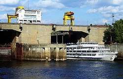 Downstream side of ship lock | |
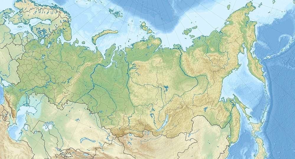 Location of Votkinsk Hydroelectric Station in Russia | |
| Official name | Votkinskaya HPS |
| Country | Russia |
| Location | Votkinsk |
| Coordinates | 56°47′27″N 54°05′22″E / 56.79083°N 54.08944°ECoordinates: 56°47′27″N 54°05′22″E / 56.79083°N 54.08944°E |
| Status | In use |
| Construction began | 1955 |
| Opening date | 1965 |
| Owner(s) | RusHydro |
| Dam and spillways | |
| Type of dam | Concrete gravity/embankment |
| Impounds | Kama River |
| Height | 34 m (112 ft) |
| Length | 4,790 m (15,715 ft) |
| Dam volume | 21,907,200 m3 (773,645,467 cu ft) |
| Spillways | 8 |
| Spillway type | Service, crest overflow weir |
| Spillway capacity | 11,300 m3/s (399,056 cu ft/s) |
| Reservoir | |
| Creates | Votkinsk Reservoir |
| Total capacity | 9,400,000,000 m3 (3.31957867182×10¹¹ cu ft) |
| Catchment area | 184,000 km2 (71,043 sq mi) |
| Surface area | 1,120 km2 (432 sq mi) |
| Maximum water depth | 28 m (92 ft) |
| Power Station | |
| Commission date | 1961-1963 |
| Hydraulic head |
23 m (75 ft) (max.) 16.75 m (55 ft) (design) |
| Turbines | 10 x 102 MW Kaplan turbines |
| Installed capacity | 1,020 MW |
| Annual generation | 2.2 billion kWh |
|
Website http://www.votges.rushydro.ru/ | |
The Votkinsk Hydroelectric Station (Russian: Воткинская ГЭС) is a dam and hydroelectric power station on the Kama River along the border of Perm Krai and Udmurtia, Russia. It is 30 km (19 mi) south of Votkinsk and its main purpose is power generation and navigation. The power station has a 1,020 MW installed capacity and the dam also supports a ship lift. Construction on the dam began in 1955, the first generator was operational in 1961 and the last in 1963. The entire project was complete in 1965.
Design
The dam has a maximum height of 34 m (112 ft) and a length of 4,790 m (15,715 ft). It is composed of a combined 365 m (1,198 ft) long concrete power station and 191 m (627 ft) long spillway section which are both flanked by the embankment dam portion. The embankment portion of the dam contains 20,899,000 m3 (738,041,220 cu ft) of soil and 884,400 m3 (31,232,291 cu ft) of rock, drainage and filter placement. The concrete structures of the dam, namely the spillway and power station comprise 1,236,600 m3 (43,670,117 cu ft).[1]
The power station is 269 m (883 ft) long, 22.5 m (74 ft) wide and 28.3 m (93 ft) high. It contains 10 x 102 MW Kaplan turbine-generators. There are six transformers ranging from 110-550 kV.[1]
Votkinsk Reservoir holds 9,400,000,000 m3 (3.31957867182×10¹¹ cu ft) of water of which 3,700,000,000 m3 (1.30664266870×10¹¹ cu ft) is active or "useful" capacity. The reservoir's catchment or drainage area is 184,000 km2 (71,043 sq mi) while its surface area is 1,120 km2 (432 sq mi) and its maximum depth is 28 m (92 ft). It is 365 km (227 mi) long and a maximum 10 km (6 mi) wide.[1]
See also
References
- 1 2 3 "Votkinsky Hydropower" (in Russian). RusHydro. Retrieved 14 January 2011.