Vidourle
| Vidourle | |
|---|---|
 | |
| Country | France |
| Physical characteristics | |
| Main source | Cévennes |
| River mouth |
Mediterranean Sea 43°32′8″N 4°8′3″E / 43.53556°N 4.13417°ECoordinates: 43°32′8″N 4°8′3″E / 43.53556°N 4.13417°E |
| Length | 95 km (59 mi) |
| Discharge |
|
| Basin features | |
| Basin size | 1,335 km2 (515 sq mi) |
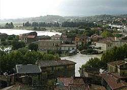
The Vidourle (Vidorle in occitan) is a river in southern France, flowing into the Mediterranean Sea in Le Grau-du-Roi. Its source is in the Cévennes mountains, northwest of Saint-Hippolyte-du-Fort, at Saint-Roman-de-Codières. It flows generally southeast. At Gallargues-le-Montueux, it was crossed by the old Roman road Via Domitia with the now ruined Roman bridge Pont Ambroix.
The Vidourle flows through the following départements and towns:
References
External links
| Wikimedia Commons has media related to Vidourle. |
This article is issued from
Wikipedia.
The text is licensed under Creative Commons - Attribution - Sharealike.
Additional terms may apply for the media files.