Vicente Guerrero, Baja California
| Vicente Guerrero | |
|---|---|
 | |
|
Vicente Guerrero Location in Mexico | |
| Coordinates: 30°43′35″N 115°59′25″W / 30.72639°N 115.99028°WCoordinates: 30°43′35″N 115°59′25″W / 30.72639°N 115.99028°W | |
| Country |
|
| State |
|
| Municipality | Ensenada |
| Elevation | 157 ft (48 m) |
| Time zone | UTC-8 (Northwest US Pacific) |
| • Summer (DST) | UTC-7 (Northwest) |
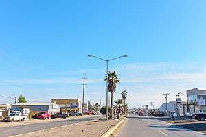
Vicente Guerrero is a colonia located in the San Quintin Valley, Baja California, Mexico. An agricultural area, it is approximately 175 miles (282 km) south of the Tijuana/San Ysidro border checkpoint. Vicente Geurero experiences a desert climate, and is close to the beach. There are ruins of old missions in the surrounding areas.
This article is issued from
Wikipedia.
The text is licensed under Creative Commons - Attribution - Sharealike.
Additional terms may apply for the media files.