Vatnafjöll
| Vatnafjöll | |
|---|---|
 Vatnafjöll | |
| Highest point | |
| Elevation | 1,235 m (4,052 ft) |
| Coordinates | 63°55′12″N 19°40′12″W / 63.92000°N 19.67000°WCoordinates: 63°55′12″N 19°40′12″W / 63.92000°N 19.67000°W |
| Geography | |
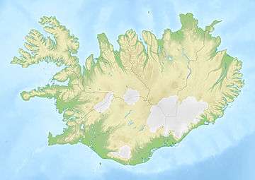
| Location | Iceland |
| Geology | |
| Age of rock | Tephrochronology |
| Mountain type | Fissure vents of Hekla |
| Last eruption | 1200 years ago |
Vatnafjöll is a 40 km (25 mi) long, 9 km (6 mi) wide basaltic fissure vent system that is located southeast of Hekla, Iceland. It is part of the same system as Hekla.[1] More than two dozen eruptions have occurred at Vatnafjöll during the Holocene Epoch. Vatnafjöll last erupted about 1200 years ago.
See also
References
This article is issued from
Wikipedia.
The text is licensed under Creative Commons - Attribution - Sharealike.
Additional terms may apply for the media files.