Varkala Taluk
| Varkala Taluk വർക്കല താലൂക്ക് | |
|---|---|
| Taluk | |
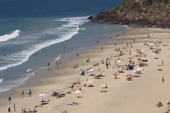 | |
 Varkala Taluk വർക്കല താലൂക്ക് Location in Kerala, India | |
| Coordinates: 8°44′02″N 76°43′30″E / 8.734°N 76.725°ECoordinates: 8°44′02″N 76°43′30″E / 8.734°N 76.725°E | |
| Country |
|
| State | Kerala |
| District | Thiruvananthapuram |
| Founded by | Government of Kerala |
| Named for | Varkala |
| Headquarters | Varkala |
| Government | |
| • Type | Government of Kerala |
| • Body | Subdistrict |
| Area | |
| • Total | 185.18 km2 (71.50 sq mi) |
| Area rank | 4th |
| Population (2011) | |
| • Total | 2,78,133 |
| • Rank | 4th |
| • Density | 1,500/km2 (3,900/sq mi) |
| Languages | |
| • Official | Malayalam |
| Time zone | UTC+5:30 (IST) |
| IN Telephone code | 0470 |
| Vehicle registration | KL 01 , KL 16 |
Varkala Taluk is a Taluk (tehsil) in Thiruvananthapuram district in the Indian state of Kerala. The Taluk is spread on an area of 185.18 km² comprising 12 village , Varkala municipality and half of Attingal municipality up to Alamcode[1]
Municipalities and Villages
References
This article is issued from
Wikipedia.
The text is licensed under Creative Commons - Attribution - Sharealike.
Additional terms may apply for the media files.