Vaikhawtlang
| Vaikhawtlang | |
|---|---|
| village | |
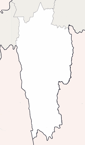 Vaikhawtlang Location in Mizoram, India  Vaikhawtlang Vaikhawtlang (India) | |
| Coordinates: 23°53′27″N 93°22′18″E / 23.890955°N 93.371689°ECoordinates: 23°53′27″N 93°22′18″E / 23.890955°N 93.371689°E | |
| Country | India |
| State | Mizoram |
| District | Champhai |
| Block | Champhai |
| Elevation | 875 m (2,871 ft) |
| Population (2011) | |
| • Total | 938 |
| Time zone | UTC+5:30 (IST) |
| 2011 census code | 271339 |
Vaikhawtlang is a village in the Champhai district of Mizoram, India. It is located in the Champhai R.D. Block at Indo-Myanmar border.[1] Distance of Vaikhawtlang from district capital Champhai is 86 km toward North, and approximately 271.6km toward East from state capital Aizawl respectively. Primary occupation in this is village is farming.
International border(IB) is approximately 4km East from Vaikhawtlang
Demographics
According to the 2011 census of India, Vaikhawtlang has 168 households. The effective literacy rate (i.e. the literacy rate of population excluding children aged 6 and below) is 94.29%.[2]
| Total | Male | Female | |
|---|---|---|---|
| Population | 938 | 475 | 463 |
| Children aged below 6 years | 185 | 92 | 93 |
| Scheduled caste | 0 | 0 | 0 |
| Scheduled tribe | 935 | 475 | 460 |
| Literates | 710 | 376 | 334 |
| Workers (all) | 387 | 223 | 164 |
| Main workers (total) | 378 | 220 | 158 |
| Main workers: Cultivators | 327 | 181 | 146 |
| Main workers: Agricultural labourers | 5 | 4 | 1 |
| Main workers: Household industry workers | 1 | 0 | 1 |
| Main workers: Other | 45 | 35 | 10 |
| Marginal workers (total) | 9 | 3 | 6 |
| Marginal workers: Cultivators | 8 | 2 | 6 |
| Marginal workers: Agricultural labourers | 0 | 0 | 0 |
| Marginal workers: Household industry workers | 0 | 0 | 0 |
| Marginal workers: Others | 1 | 1 | 0 |
| Non-workers | 551 | 252 | 299 |
References
- ↑ "Mizoram villages" (PDF). Land Records Information Systems Division, NIC. Archived from the original (PDF) on 2014-08-06. Retrieved 2015-08-22.
- 1 2 "District Census Handbook - Champhai" (PDF). 2011 Census of India. Directorate of Census Operations, Mizoram. Retrieved 2015-08-22.
This article is issued from
Wikipedia.
The text is licensed under Creative Commons - Attribution - Sharealike.
Additional terms may apply for the media files.