Tuipui, Champhai
| Tuipui | |
|---|---|
| village | |
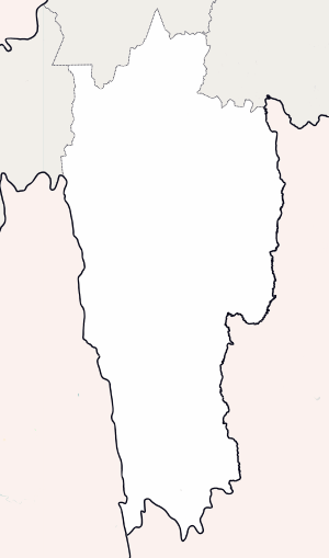 Tuipui Location in Mizoram, India  Tuipui Tuipui (India) | |
| Coordinates: 22°52′46″N 92°56′09″E / 22.879501°N 92.9357°ECoordinates: 22°52′46″N 92°56′09″E / 22.879501°N 92.9357°E | |
| Country | India |
| State | Mizoram |
| District | Champhai |
| Block | Khawzawl |
| Elevation | 209 m (686 ft) |
| Population (2011) | |
| • Total | 461 |
| Time zone | UTC+5:30 (IST) |
| 2011 census code | 271325 |
Tuipui is a village in the Champhai district of Mizoram, India. It is located in the Khawzawl R.D. Block.[1]
Demographics
According to the 2011 census of India, Tuipui has 95 households. The effective literacy rate (i.e. the literacy rate of population excluding children aged 6 and below) is 100%.[2]
| Total | Male | Female | |
|---|---|---|---|
| Population | 461 | 217 | 244 |
| Children aged below 6 years | 75 | 31 | 44 |
| Scheduled caste | 0 | 0 | 0 |
| Scheduled tribe | 443 | 210 | 233 |
| Literates | 386 | 186 | 200 |
| Workers (all) | 229 | 132 | 97 |
| Main workers (total) | 225 | 131 | 94 |
| Main workers: Cultivators | 217 | 126 | 91 |
| Main workers: Agricultural labourers | 1 | 1 | 0 |
| Main workers: Household industry workers | 1 | 1 | 0 |
| Main workers: Other | 6 | 3 | 3 |
| Marginal workers (total) | 4 | 1 | 3 |
| Marginal workers: Cultivators | 4 | 1 | 3 |
| Marginal workers: Agricultural labourers | 0 | 0 | 0 |
| Marginal workers: Household industry workers | 0 | 0 | 0 |
| Marginal workers: Others | 0 | 0 | 0 |
| Non-workers | 232 | 85 | 147 |
References
- ↑ "Mizoram villages" (PDF). Land Records Information Systems Division, NIC. Archived from the original (PDF) on 2014-08-06. Retrieved 2015-08-22.
- 1 2 "District Census Handbook - Champhai" (PDF). 2011 Census of India. Directorate of Census Operations, Mizoram. Retrieved 2015-08-22.
This article is issued from
Wikipedia.
The text is licensed under Creative Commons - Attribution - Sharealike.
Additional terms may apply for the media files.