Vaglaskógur
| Vaglaskógur | |
|---|---|
 | |
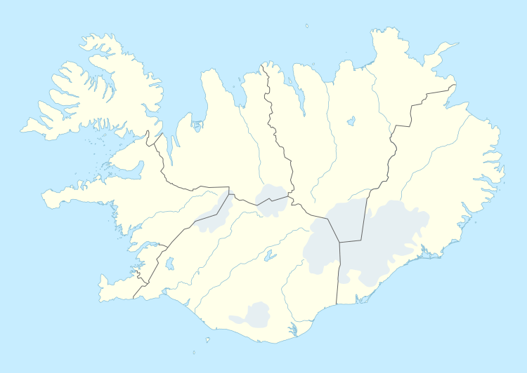 | |
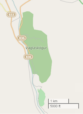
| Location | Fnjóskadalur, Iceland |
| Coordinates | 65°43′00″N 17°53′00″W / 65.7167°N 17.8833°WCoordinates: 65°43′00″N 17°53′00″W / 65.7167°N 17.8833°W |
| Area | 300 ha (740 acres) |
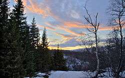
Vaglaskógur is a 300-hectare forest in Fnjóskadalur, Iceland. It is the second largest forest area in the country. This area contains many birch trees and is a visitor attraction.[1][2]
Gallery

.jpg)
References
External links

This article is issued from
Wikipedia.
The text is licensed under Creative Commons - Attribution - Sharealike.
Additional terms may apply for the media files.