Union Flat Creek
| Union Flat Creek | |
| Country | United States |
|---|---|
| States | Washington (state), Idaho |
| Counties | Whitman County, Washington, Nez Perce County, Idaho |
| Source | |
| - location | near Genesee, Nez Perce County, Idaho |
| - elevation | 2,820 ft (860 m) [1] |
| - coordinates | 46°31′20″N 116°57′35″W / 46.52222°N 116.95972°W [2] |
| Mouth | Palouse River |
| - location | west of La Crosse, Whitman County, Washington |
| - elevation | 1,168 ft (356 m) [2] |
| - coordinates | 46°49′38″N 117°59′55″W / 46.82722°N 117.99861°WCoordinates: 46°49′38″N 117°59′55″W / 46.82722°N 117.99861°W [2] |
| Length | 72 mi (116 km) [3] |
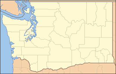 Location of the mouth of Union Flat Creek in Washington | |
Union Flat Creek is a 72-mile (120 km) long[3] tributary of the Palouse River. Beginning at an elevation of 2,820 feet (859.5 m)[1] near Genesee in northern Nez Perce County, Idaho, it flows west into Whitman County, Washington, passing through the towns of Uniontown and Colton. It then flows to its mouth west of La Crosse,[4] at an elevation of 1,168 feet (356.0 m).[2]
See also
References
- 1 2 Source elevation derived from Google Earth search using GNIS source coordinates.
- 1 2 3 4 "Union Flat Creek". Geographic Names Information System. United States Geological Survey. September 10, 1979. Retrieved February 10, 2013.
- 1 2 "National Hydrography Dataset". United States Geological Survey. Retrieved February 10, 2013.
- ↑ Washington Road and Recreation Atlas (Map) (4th ed.). 1:200,000. Benchmark Maps. 2007. pp. 92–93, 107. ISBN 978-0-929591-98-8. OCLC 156853281.
This article is issued from
Wikipedia.
The text is licensed under Creative Commons - Attribution - Sharealike.
Additional terms may apply for the media files.