Ugwunagbo
| Ugwunagbo | |
|---|---|
| LGA and town | |
 Ugwunagbo Location of Ugwunagbo in Nigeria | |
| Coordinates: 4°59′4.1053″N 7°19′32.82″E / 4.984473694°N 7.3257833°E | |
| Country |
|
| State | Abia State |
| Area | |
| • Total | 42 sq mi (108 km2) |
| Population (2011) | |
| • Total | 97,710[1] |
| Time zone | UTC+1 (WAT) |
Ugwunagbo is a Local Government Area of Abia State, Nigeria.
It has an area of 108 km² and a population of 97,710 at the 2011 census.
Economy
Ugwunagbo depends solely on farming. It is one of those areas that supplies farm products like, yam, maize, cocoa, palm oil and others to Aba and environs. Ugwunagbo also have little deposit of crude oil which can be found in Obuzo. It also has vast cities like Obegu, Ngwayiekwe, Ihie, Asa-Umunka and so on.
References
Capital: Umuahia | ||
| Local Government Areas | 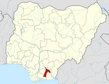 | |
This article is issued from
Wikipedia.
The text is licensed under Creative Commons - Attribution - Sharealike.
Additional terms may apply for the media files.