U.K Heights
| U.K Heights U.K Heights Complex | |
|---|---|
| Town | |
| Nickname(s): Gaur Niwas | |
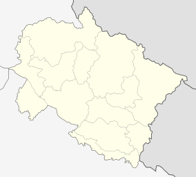
 U.K Heights Location in Uttarakhand, India  U.K Heights U.K Heights (India) | |
| Coordinates: 30°19′59″N 77°57′39″E / 30.33306°N 77.96083°ECoordinates: 30°19′59″N 77°57′39″E / 30.33306°N 77.96083°E | |
| Country | India |
| State | Uttarakhand |
| Metro | Dehradun |
| Founded by | Himanshu Gaur |
| Named for | Gaur Niwas |
| Government | |
| • Body | Municipal Corporation of Sudhowala City |
| Area | |
| • Total | 2 km2 (0.8 sq mi) |
| Population (2011) | |
| • Total | 299 |
| • Density | 150/km2 (390/sq mi) |
| Languages | |
| • Official | Hindi, Punjabi, Garhwali, Kumaoni, English, |
| Time zone | UTC+5:30 (IST) |
| Vehicle registration | UK-07 |
U.K Heights Complex, Sudhowala, also known as U.K Heights, is a large residential and commercial neighbourhood in Dehradun, India. It is approximately 1 km from Sudhowala and 12 km from Dehradun station. The name U.K Heights comes from the name of the state Uttarakhand which is also known as (U.K). U.K Heights is situated inside Gaur Niwas.
References
This article is issued from
Wikipedia.
The text is licensed under Creative Commons - Attribution - Sharealike.
Additional terms may apply for the media files.