Tzukei Yam
| Tzukei Yam צוּקֵי יָם | |
|---|---|
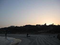 Tzukei Yam beach | |
 Tzukei Yam | |
| Coordinates: 32°21′37.43″N 34°51′38.87″E / 32.3603972°N 34.8607972°ECoordinates: 32°21′37.43″N 34°51′38.87″E / 32.3603972°N 34.8607972°E | |
| District | Central |
| Council | Hefer Valley |
| Founded | 1956 |
| Population (2017)[1] | 281 |
Tzukei Yam (Hebrew: צוּקֵי יָם, lit. Sea Cliffs) is a community settlement in central Israel. Located on the coast of the Mediterranean Sea to the north of Netanya, it falls under the jurisdiction of Hefer Valley Regional Council, of which it is the westernmost community. In 2017 it had a population of 281.[1]
History
The village was established in 1956, and was named after the nearby cliffs.
References
- 1 2 "List of localities, in Alphabetical order" (PDF). Israel Central Bureau of Statistics. Retrieved August 26, 2018.
This article is issued from
Wikipedia.
The text is licensed under Creative Commons - Attribution - Sharealike.
Additional terms may apply for the media files.