Tutu Kampu
| Tutu Kampu Kulumuli | |
|---|---|
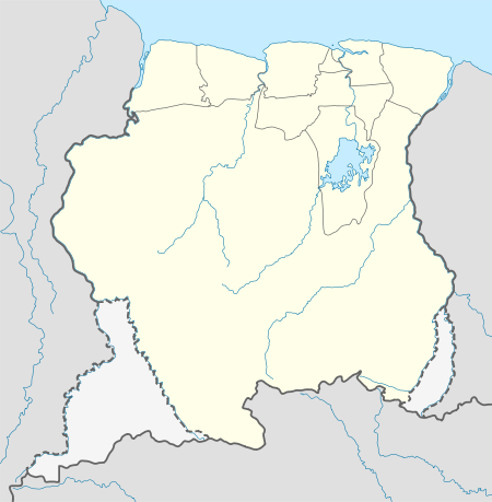 Tutu Kampu Location in Suriname | |
| Coordinates: 3°34′38″N 54°57′5″W / 3.57722°N 54.95139°W | |
| Country |
|
| District | Sipaliwini District |
| Resort (municipality) | Tapanahony |
| Government | |
| • Captain | Samé |
| Population (2006) | |
| • Total | 22[1] |
Tutu Kampu, also known as Kulumuli, is a Wayana village on the Tapanahony River in Suriname. The village consists of about five households and is headed by the shaman or pïyai Samé.[2][3] The village acts as the border village between Wayana territory further upstream the Tapanahony River and Ndyuka territory further downstream.[2]
The village has a community house or tukusipan at its centre.[4]
Notes
- ↑ Heemskerk et al. 2007, p. 21.
- 1 2 Heemskerk et al. 2007, p. 39.
- ↑ Boven 2006, p. 243.
- ↑ Heemskerk et al. 2007, p. 115.
References
- Boven, Karin M. (2006). Overleven in een Grensgebied: Veranderingsprocessen bij de Wayana in Suriname en Frans-Guyana (PDF). Amsterdam: Rozenberg Publishers.
- Heemskerk, Marieke; Delvoye, Katia; Noordam, Dirk; Teunissen, Pieter (2007). Wayana Baseline Study: A sustainable livelihoods perspective on the Wayana Indigenous Peoples living in and around Puleowime (Apetina), Palumeu, and Kawemhakan (Anapaike) in Southeast Suriname (PDF). Paramaribo: Stichting Amazon Conservation Team-Suriname.
This article is issued from
Wikipedia.
The text is licensed under Creative Commons - Attribution - Sharealike.
Additional terms may apply for the media files.