Tuli, India
| Tuli Tuli | |
|---|---|
| Town | |
 | |
 Tuli Location in India | |
| Coordinates: 26°39′23.331″N 94°38′23.5284″E / 26.65648083°N 94.639869000°ECoordinates: 26°39′23.331″N 94°38′23.5284″E / 26.65648083°N 94.639869000°E | |
| Country |
|
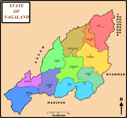
| District | Mokokchung |
| Elevation | 350 m (1,150 ft) |
| Population (2001) | |
| • Total | 7,864.[1] |
| Languages | |
| Time zone | UTC+5:30 (IST) |
| PIN | 798618 |
| Telephone code | 91 (0)38643 |
| Vehicle registration | NL-02 |
| Website | mokokchung.nic.in |
Tuli is a town in the Mokokchung district of the Nagaland state, India. It is located on the right bank of Milak river and is 80 km north of Mokokchung. Changtongya, the nearest Naga town is 40 km south of Tuli. It is here that the Langpangkong Range gently rises above the Melak plains. As such the topography of Tuli is marked by low rolling hills and a gentle plain. The Ao language is spoken here. The town consists of two main areas, Tuli headquarters and Tzudikong (Tuli Paper Mill Township).
Tuli headquarters is the administrative township of Tuli in Mokokchung district in the Indian state of Nagaland.
Demographics
As of 2011 the 2011 census, Tuli town had a population of 7,864.[1]
Wider definition
It is one of the three components that make up the town of Tuli. Together with Tuli Lenden and Tuli Paper Mill Township (Tzudikong, population was 6,393), it forms the conglomerate of Tuli town which has a population of 15,252.
This wider definition makes it the second largest town in the Mokokchung district after Mokokchung and the largest non-district headquarters town in Nagaland.
Transport and Communication
Tuli is one of the most well connected places in Nagaland. The National Highway-61 passes through this town. The town is the junction of host of other state and district highways. The foothill-state highway to Naginimora (in Mon) as also highways to Longleng district and Changkikong. The Japukong and Asetkong ranges converge here. The Tuli Pulp and Paper industry is located here. A railway line connects Tuli Paper mill to Amguri in neighbouring Assam.
Administration
- The town is a sub-divisional headquarters under an Additional Deputy Commissioner, stationed at Tuli headquarters.
Hate politics
References
- 1 2 "Tuli City Population Census 2011 - Nagaland". www.census2011.co.in.