Tua (Papua New Guinea)
| Tua | |
|---|---|
 | |
| Physical characteristics | |
| River mouth |
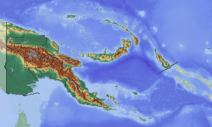
Purari River basin 6°30′00″S 144°28′00″E / 6.50000°S 144.46667°ECoordinates: 6°30′00″S 144°28′00″E / 6.50000°S 144.46667°E |
The Tua River is a tributary of the Purari River of Papua New Guinea. It originates in the Eastern Highlands Province and flows through the highlands of the Simbu Province, where it joins the Pio River, giving rise to the Purari.[1]
During the formation of the volcanoes of Soaru Range and Mount Karimui the river's course was temporarily blocked, which caused the formation of a short-lived lake.[2]
References
- ↑ Tua River: Papua New Guinea National Geospatial-Intelligence Agency, Bethesda, MD, USA
- ↑ Löffler, Ernst (1977). Geomorphology of Papua New Guinea. Canberra: Australian National University Press. p. 73. ISBN 978-0-7081-0410-1.
This article is issued from
Wikipedia.
The text is licensed under Creative Commons - Attribution - Sharealike.
Additional terms may apply for the media files.