Torsukattak Fjord (Disko Bay)
| Torsukattak Fjord | |
|---|---|
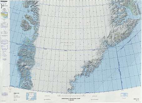 Map of Greenland section | |
 Torsukattak Fjord Location in Greenland | |
| Location | Arctic |
| Coordinates | 69°58′N 51°5′W / 69.967°N 51.083°WCoordinates: 69°58′N 51°5′W / 69.967°N 51.083°W |
| Ocean/sea sources | Baffin Bay |
| Basin countries | Greenland |
| Max. length | 50 km (31 mi) |
| Max. width | 8 km (5.0 mi) |
Torsukattak is a fjord in western Greenland. Administratively it is part of the Qaasuitsup municipality.
Geography
Torsukattak Fjord is located to the east of Disko Island (Qeqertarsuaq), across the sound. The fjord is oriented in a roughly east/west direction and opens into the Disko Bay of the Baffin Bay. It has a large glacier and a nunatak at its head.[1]
The 520 m high island of Oqaatsoq is on the southern side of the mouth and Qeqertakavsak lies on the southern shore of the fjord 23 km from its mouth. There are several smaller islands and islets south of Qeqertakavsak.[2]
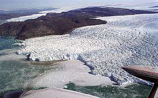
View of Torsukattak Fjord, Disko Bay, from 3,000 ft altitude.
Bibliography
- Ivar Haug (2005). Gazetteer of Greenland UBiT (Trondheim University Library), ISBN 82-7113-114-1
See also
References
- ↑ "Torsukattak". Mapcarta. Retrieved 28 April 2016.
- ↑ Prostar Sailing Directions 2005 Greenland and Iceland Enroute, p. 68
External links
This article is issued from
Wikipedia.
The text is licensed under Creative Commons - Attribution - Sharealike.
Additional terms may apply for the media files.