Torpshammar
| Torpshammar | |
|---|---|
 Torpshammar 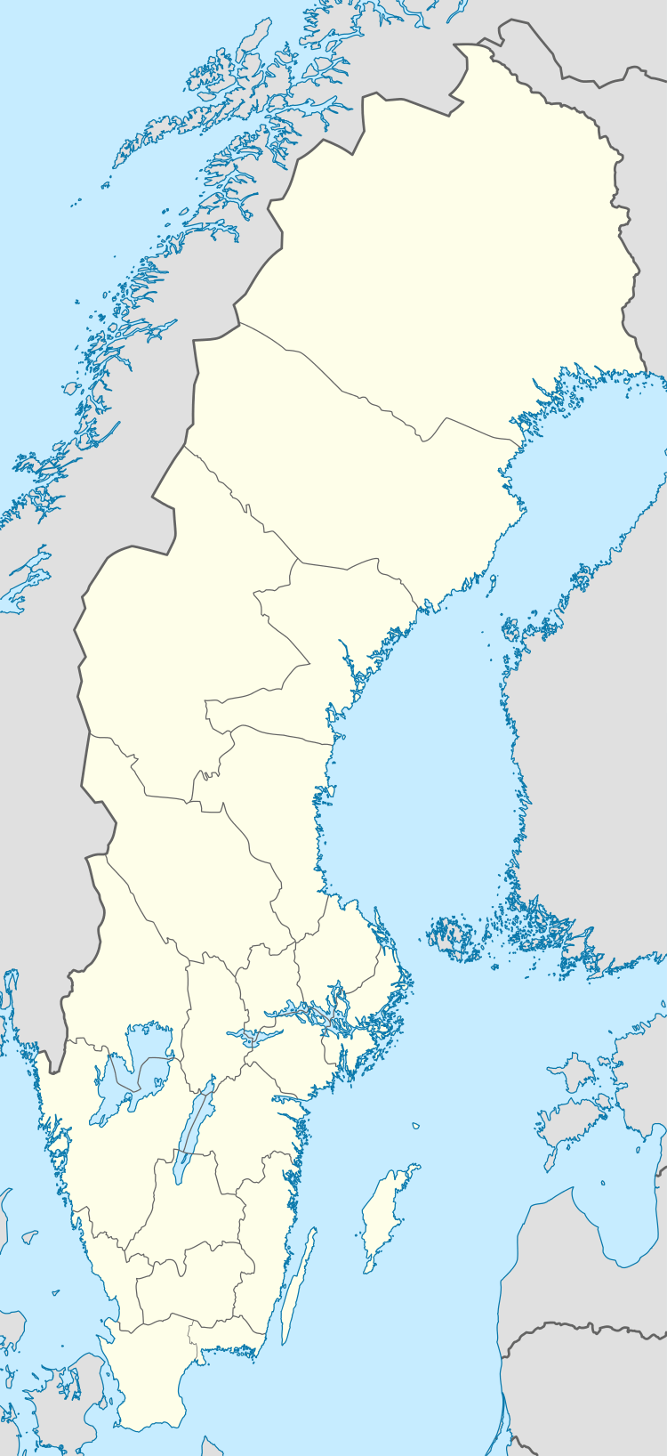 Torpshammar | |
| Coordinates: 62°29′N 16°20′E / 62.483°N 16.333°ECoordinates: 62°29′N 16°20′E / 62.483°N 16.333°E | |
| Country | Sweden |
| Province | Medelpad |
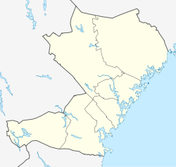
| County | Västernorrland County |
| Municipality | Ånge Municipality |
| Area[1] | |
| • Total | 1.63 km2 (0.63 sq mi) |
| Population (31 December 2010)[1] | |
| • Total | 444 |
| • Density | 272/km2 (700/sq mi) |
| Time zone | UTC+1 (CET) |
| • Summer (DST) | UTC+2 (CEST) |
Torpshammar is a locality situated in Ånge Municipality, Västernorrland County, Sweden with 444 inhabitants in 2010.[1] It was founded in 1797 as an iron milling community. It is best known for being home to the first location of Boda Borg. [2]
Climate
Torpshammar has traditionally had a subarctic climate, although due to recent warming it is transitioning to a humid continental climate with four distinct seasons, cold winters and warm but short summers.
| Climate data for Torpshammar (2002-2016); extremes since 1931; precipitation 1961-1990 | |||||||||||||
|---|---|---|---|---|---|---|---|---|---|---|---|---|---|
| Month | Jan | Feb | Mar | Apr | May | Jun | Jul | Aug | Sep | Oct | Nov | Dec | Year |
| Record high °C (°F) | 9.8 (49.6) |
11.6 (52.9) |
18.2 (64.8) |
24.2 (75.6) |
29.0 (84.2) |
33.6 (92.5) |
33.9 (93) |
34.6 (94.3) |
26.7 (80.1) |
19.2 (66.6) |
14.2 (57.6) |
9.6 (49.3) |
34.6 (94.3) |
| Average high °C (°F) | −3.8 (25.2) |
−1.4 (29.5) |
4.1 (39.4) |
10.2 (50.4) |
15.5 (59.9) |
19.5 (67.1) |
22.5 (72.5) |
20.5 (68.9) |
15.6 (60.1) |
7.8 (46) |
1.6 (34.9) |
−2.0 (28.4) |
9.1 (48.4) |
| Daily mean °C (°F) | −8.0 (17.6) |
−5.5 (22.1) |
−1.3 (29.7) |
4.1 (39.4) |
9.0 (48.2) |
13.2 (55.8) |
16.3 (61.3) |
14.8 (58.6) |
10.2 (50.4) |
3.6 (38.5) |
−1.5 (29.3) |
−5.8 (21.6) |
4.0 (39.2) |
| Average low °C (°F) | −12.2 (10) |
−9.6 (14.7) |
−6.7 (19.9) |
−2.0 (28.4) |
2.6 (36.7) |
6.8 (44.2) |
10.1 (50.2) |
9.0 (48.2) |
4.8 (40.6) |
−0.5 (31.1) |
−4.6 (23.7) |
−9.6 (14.7) |
−1.0 (30.2) |
| Record low °C (°F) | −42.0 (−43.6) |
−38.8 (−37.8) |
−37.8 (−36) |
−19.4 (−2.9) |
−9.0 (15.8) |
−2.2 (28) |
0.2 (32.4) |
−1.6 (29.1) |
−7.9 (17.8) |
−20.0 (−4) |
−28.8 (−19.8) |
−41.7 (−43.1) |
−42.0 (−43.6) |
| Average precipitation mm (inches) | 31.6 (1.244) |
24.5 (0.965) |
27.6 (1.087) |
29.0 (1.142) |
32.6 (1.283) |
44.0 (1.732) |
62.5 (2.461) |
59.8 (2.354) |
54.5 (2.146) |
41.6 (1.638) |
43.3 (1.705) |
39.4 (1.551) |
490.4 (19.307) |
| Source #1: SMHI precipitation average 1961-1990[3] | |||||||||||||
| Source #2: SMHI climate data 2002-2016[4] | |||||||||||||
References
- 1 2 3 "Tätorternas landareal, folkmängd och invånare per km2 2005 och 2010" (in Swedish). Statistics Sweden. 14 December 2011. Archived from the original on 10 January 2012. Retrieved 10 January 2012.
- ↑ "Torpshammar - Boda Borg". bodaborg.com (in Swedish). Retrieved 2017-03-24.
- ↑ "SMHI precipitation average 1961-1990" (in Swedish). Swedish Metereological and Hydrological Institute (Torpshammar code 12 629).
- ↑ "SMHI climate data 2002-2016" (in Swedish). SMHI. 16 April 2017.
This article is issued from
Wikipedia.
The text is licensed under Creative Commons - Attribution - Sharealike.
Additional terms may apply for the media files.