Toobeah
| Toobeah Queensland | |||||||||||||||
|---|---|---|---|---|---|---|---|---|---|---|---|---|---|---|---|
 Toobeah | |||||||||||||||
| Coordinates | 28°25′01″S 149°52′13″E / 28.4169°S 149.8702°ECoordinates: 28°25′01″S 149°52′13″E / 28.4169°S 149.8702°E | ||||||||||||||
| Population | 218 (2011 census)[1] | ||||||||||||||
| • Density | 0.1700/km2 (0.4403/sq mi) | ||||||||||||||
| Postcode(s) | 4498 | ||||||||||||||
| Area | 1,282.4 km2 (495.1 sq mi) | ||||||||||||||
| Location |
| ||||||||||||||
| LGA(s) | Goondiwindi Region | ||||||||||||||
| State electorate(s) | Southern Downs | ||||||||||||||
| Federal Division(s) | Maranoa | ||||||||||||||
| |||||||||||||||
Toobeah is a town and a locality in the Goondiwindi Region, Queensland, Australia.[2][3] At the 2011 census, Toobeah and the surrounding rural area had a population of 218.[1]
Geography
Toobeah is in the Darling Downs region. The town is on the Barwon Highway, 389 kilometres (242 mi) south west of the state capital, Brisbane.
History
The town takes its name from the railway station, which was used from 1910. The name is believed to be an Aboriginal word indicating to point, possibly because of the presence of a sign post at the road junction where the railway station was built.[3]
Amenities
Facilities in the town include the Coronation Hotel and a general store.[4]
References
- 1 2 Australian Bureau of Statistics (31 October 2012). "Toobeah". 2011 Census QuickStats. Retrieved 5 May 2013.

- ↑ "Toobeah - town in Goondiwindi Region (entry 34836)". Queensland Place Names. Queensland Government. Retrieved 4 July 2017.
- 1 2 "Toobeah - locality in Goondiwindi Region (entry 48442)". Queensland Place Names. Queensland Government. Retrieved 4 July 2017.
- ↑ "Food and Liquor". Community Directory. Goondiwindi Regional Council. Retrieved 5 May 2013.
External links
- Toobeah - Goondiwindi Regional Council
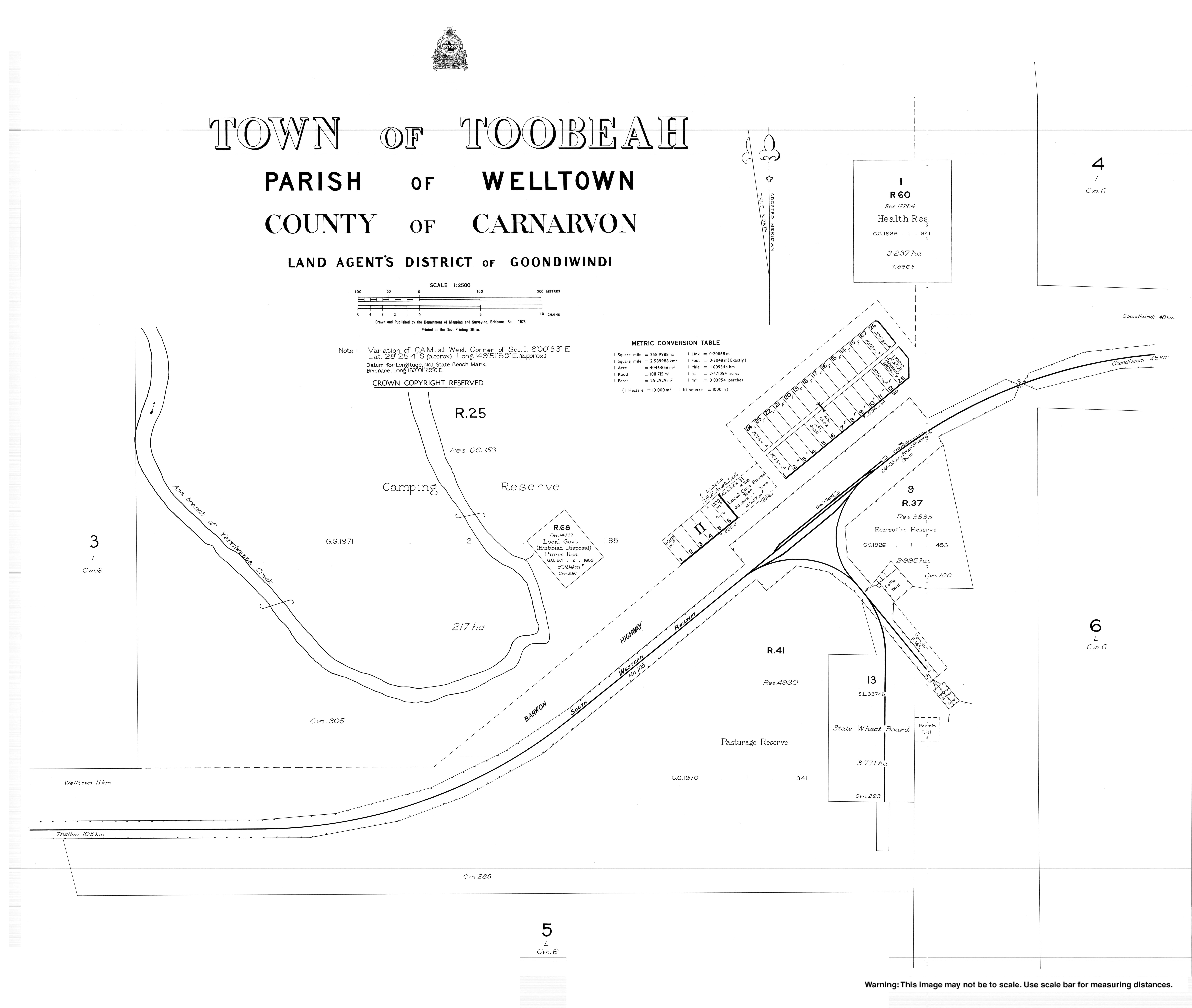
- Town map of Toobeah, 1976
This article is issued from
Wikipedia.
The text is licensed under Creative Commons - Attribution - Sharealike.
Additional terms may apply for the media files.