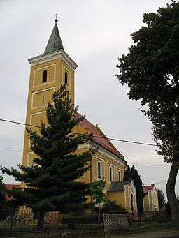
Tomášov
| Tomášov | |
| Fél | |
| Village | |
 | |
| Country | Slovakia |
|---|---|
| Region | Bratislava |
| District | Senec |
| River | Little Danube |
| Elevation | 128 m (420 ft) |
| Coordinates | 48°08′26″N 17°20′24″E / 48.14056°N 17.34000°ECoordinates: 48°08′26″N 17°20′24″E / 48.14056°N 17.34000°E |
| Area | 19.96 km2 (8 sq mi) |
| Population | 2,540 (2016) |
| Density | 127/km2 (329/sq mi) |
| First mentioned | 1240 |
| Mayor | István Pomichal |
| Timezone | CET (UTC+1) |
| - summer (DST) | CEST (UTC+2) |
| Postal code | 900 44 |
| Phone prefix | 421-2 |
| Car plate | SC |
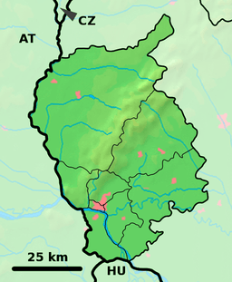 Location of Tomášov in the Bratislava Region  Tomášov (Slovakia) | |
| Statistics: MOŠ/MIS | |
| Website: http://www.tomasov.sk | |
Tomášov (Hungarian: Fél) is a village and municipality in western Slovakia in Senec District in the Bratislava Region.
Names and etymology
The name comes from a personal name with the Slavic/Slovak possessive suffix -ov. In historical records the modern name of the village was first mentioned in 1434 (Tomaschoff).[1] In 1456, the village was mentioned as Thamashaza.[1]
Fél (1250, Feel) - the official modern name of Tomášov in the language of the Hungarian national minority was initially a separate village, but nowadays it is part of Tomášov.[1]
Geography
The municipality lies at an altitude of 128 metres and covers an area of 19.828 km².
History
In historical records the village was first mentioned on 4 December 1250 as Feél.[2]
There is a baroque manor house built in 18th century on the side of the village.
Population
It had a population of about 2540 people on 31 December 2016.[3]
References
- Specific
- 1 2 3 Varsik, Branislav (1984). Z osídlenia západného a stredného Slovenska v stredoveku (in Slovak). Bratislava: Veda, vydavateľstvo Slovenskej akadémie vied. p. 128.
- ↑ Németh, Silvia. Krátka história obce Tomášov (PDF) (in Slovak). p. 3. Retrieved 26 June 2018.
- ↑ "Počet obyvateľov obce Tomášov" (PDF). tomasov.sk. 31 December 2016. Retrieved 26 June 2018.