Tokajík
| Tokajík | |
| Village | |
 | |
| Country | Slovakia |
|---|---|
| Region | Prešov |
| District | Stropkov |
| Elevation | 206 m (676 ft) |
| Coordinates | 49°07′N 21°43′E / 49.117°N 21.717°ECoordinates: 49°07′N 21°43′E / 49.117°N 21.717°E |
| Area | 8.24 km2 (3.18 sq mi) |
| Population | 111 (2004-12-31) |
| Density | 13/km2 (34/sq mi) |
| First mentioned | 1430 |
| Postal code | 090 34 |
| Car plate | SP |
  Location of Tokajík in Slovakia | |
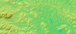  Location of Tokajík in the Prešov Region | |
| Statistics: MOŠ/MIS | |
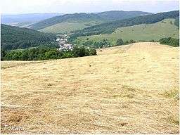
Tokajík is a village and municipality in Stropkov District in the Prešov Region of north-eastern Slovakia.
History
In historical records the village was first mentioned in 1430.
During World War II on November 20, 1944, Tokajík was burned by German troops as punishment for aid the inhabitants gave to the partisans. 32 men were shot 1 km North of the village the day before. Only 2, severely injured men from the village survived. The village was restored after war.
Geography
The municipality lies at an altitude of 206 metres and covers an area of 8.242 km². It has a population of about 111 people.
Transportation
There are 5 airports within 110 km of Tokajik.
This article is issued from
Wikipedia.
The text is licensed under Creative Commons - Attribution - Sharealike.
Additional terms may apply for the media files.