Tintipán Island
| Native name: Isla Tintipán | |
|---|---|
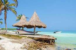 A beach on Tintipán Island | |
 Tintipán Island | |
| Geography | |
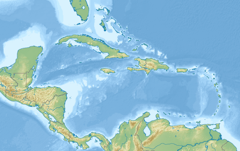
| Location | Caribbean Sea |
| Coordinates | 9°47′38″N 75°50′31″W / 9.794°N 75.842°W |
| Archipelago | San Bernardo |
| Adjacent bodies of water | Gulf of Morrosquillo |
| Administration | |
|
Colombia | |
| Department | Bolívar |
| Demographics | |
| Languages | Spanish |
Tintipán Island (Spanish: Isla Tintipán) is a coral island located in the Archipelago of San Bernardo,[1] Gulf of Morrosquillo, Caribbean Sea.[2] It is governed by Colombia as part of the Bolívar Department.[3]
See also
References
- ↑ Alegría, Ciro; Varona, Dora (1995). Fábulas y leyendas americanas (in Spanish). Andres Bello. p. 31. ISBN 9561308886.
- ↑ Rincon-Diaz, Martha Patricia; Rodríguez-Zárate, Clara Jimena (December 2004). "Characterization of nesting beaches and feeding areas of marine turtles at the San Bernardo Archipelago, Colombian Caribbean". Bulletin of Marine and Coastal Research (in Spanish). 33 (1). Retrieved 9 January 2015.
- ↑ "Geografía". Bolívar sí avanza (in Spanish). Government of Bolívar Department. Retrieved January 15, 2017.
Recreational dive sites in Colombia | ||
|---|---|---|
| Caribbean coast |  | |
| Caribbean insular | ||
| Pacific | ||
| Andean | ||
This article is issued from
Wikipedia.
The text is licensed under Creative Commons - Attribution - Sharealike.
Additional terms may apply for the media files.