Tilton River
| Tilton River | |
| Country | United States |
|---|---|
| State | Washington |
| County | Lewis |
| Source | Gifford Pinchot National Forest |
| - location | north of Morton |
| - elevation | 3,035 ft (925 m) [1] |
| - coordinates | 46°39′23″N 122°13′44″W / 46.65639°N 122.22889°W [2] |
| Mouth | Cowlitz River |
| - location | Lake Mayfield |
| - elevation | 427 ft (130 m) [2] |
| - coordinates | 46°33′09″N 122°32′04″W / 46.55250°N 122.53444°WCoordinates: 46°33′09″N 122°32′04″W / 46.55250°N 122.53444°W [2] |
| Length | 29 mi (47 km) [3] |
| Basin | 154 sq mi (399 km2) [4] |
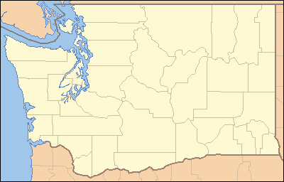 Location of the mouth of Tilton River in Washington | |
The Tilton River is a tributary of the Cowlitz River, in the U.S. state of Washington. Named for territorial surveyor James Tilton,[5] it flows for about 29 miles (47 km), entirely within Lewis County.[3]
Course
The Tilton River originates in the Cascade Range just north of Mount St. Helens and southwest of Mount Rainier. It flows south and west, joining the Cowlitz River in Lake Mayfield, near Mossyrock.[3]
See also
References
- ↑ Source elevation derived from Google Earth search using GNIS source coordinates.
- 1 2 3 "Tilton River". Geographic Names Information System (GNIS). United States Geological Survey. September 10, 1979. Retrieved January 27, 2013.
- 1 2 3 United States Geological Survey. "United States Topographic Map". TopoQuest. Retrieved January 27, 2013. River miles are marked and numbered on the relevant map quadrangles.
- ↑ Lower Columbia Fish Recovery Board (2006). "Grays–Elochman and Cowlitz Watershed Management Plan" (PDF). Cowlitz County. p. 55 (section 4). Retrieved January 28, 2013.
- ↑ Meany, Edmond S. (1923). Origin of Washington geographic names. Seattle: University of Washington Press. p. 310.
This article is issued from
Wikipedia.
The text is licensed under Creative Commons - Attribution - Sharealike.
Additional terms may apply for the media files.