Thorne Bay Seaplane Base
| Thorne Bay Seaplane Base | |||||||||||
|---|---|---|---|---|---|---|---|---|---|---|---|
| Summary | |||||||||||
| Airport type | Public | ||||||||||
| Owner | State of Alaska DOT&PF - Southeast Region | ||||||||||
| Serves | Thorne Bay, Alaska | ||||||||||
| Elevation AMSL | 0 ft / 0 m | ||||||||||
| Coordinates | 55°41′17″N 132°32′12″W / 55.68806°N 132.53667°WCoordinates: 55°41′17″N 132°32′12″W / 55.68806°N 132.53667°W | ||||||||||
| Map | |||||||||||
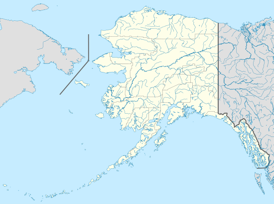
 KTB Location of airport in Alaska | |||||||||||
| Runways | |||||||||||
| |||||||||||
| Statistics (2006) | |||||||||||
| |||||||||||
Thorne Bay Seaplane Base (IATA: KTB, FAA LID: KTB) is a state-owned public-use seaplane base serving Thorne Bay,[1] a community in the Prince of Wales-Hyder Census Area of the U.S. state of Alaska.
As per Federal Aviation Administration records, the airport had 2,640 passenger boardings (enplanements) in calendar year 2008,[2] 2,283 enplanements in 2009, and 2,608 in 2010.[3] It is included in the National Plan of Integrated Airport Systems for 2011–2015, which categorized it as a non-primary commercial service airport (between 2,500 and 10,000 enplanements per year).[4]
Facilities and aircraft
Thorne Bay Seaplane Base has one seaplane landing area designated NW/SE with a water surface measuring 5,000 by 2,000 feet (1,524 x 610 m). For the 12-month period ending December 31, 2006, the airport had 1,519 aircraft operations, an average of 126 per month: 49.4% air taxi, 42.4% scheduled commercial and 8.2% general aviation.[1]
Airlines and non-stop destinations
The following airlines offer scheduled passenger service:
| Airlines | Destinations |
|---|---|
| Pacific Airways | Ketchikan [5] |
| Promech Air | Ketchikan [6] |
| Taquan Air | Ketchikan [7] |
| Carrier | Passengers (arriving and departing) |
|---|---|
| Pacific | 3,040(59.76%) |
| PM Air, LLC | 1,860(36.49%) |
| Venture | 190(3.75%) |
| Rank | City | Airport | Passengers |
|---|---|---|---|
| 1 | Ketchikan, AK | Ketchikan Harbor Seaplane Base (WFB) | 2,000 |
References
- 1 2 3 FAA Airport Master Record for KTB (Form 5010 PDF). Federal Aviation Administration. Effective May 31, 2012.
- ↑
"Enplanements for CY 2008" (PDF, 1.0 MB). CY 2008 Passenger Boarding and All-Cargo Data. Federal Aviation Administration. December 18, 2009. External link in
|work=(help) - ↑
"Enplanements for CY 2010" (PDF, 189 KB). CY 2010 Passenger Boarding and All-Cargo Data. Federal Aviation Administration. October 4, 2011. External link in
|work=(help) - ↑
"2011–2015 NPIAS Report, Appendix A" (PDF, 2.03 MB). National Plan of Integrated Airport Systems. Federal Aviation Administration. October 4, 2010. External link in
|work=(help) - ↑ "Flight Schedules: Effective July 1, 2012 through August 15, 2012". Pacific Airways. Archived from the original on May 24, 2015. Retrieved August 2, 2012.
- ↑ "Scheduled Flights: Effective July 1 ~ August 20, 2012". Promech Air. Archived from the original on August 18, 2012. Retrieved August 2, 2012.
- ↑ "Summer Flight Schedule: Effective May 13 – September 15, 2012". Taquan Air. Retrieved August 2, 2012.
- 1 2 "Thorne Bay, AK: Thorne Bay Seaplane Base (KTB)". Bureau of Transportation Statistics (BTS), Research and Innovative Technology Administration (RITA), U.S. Department of Transportation. December 2011.
External links
- Resources for this airport:
- FAA airport information for KTB
- AirNav airport information for KTB
- ASN accident history for KTB
- FlightAware airport information and live flight tracker
- SkyVector aeronautical chart for KTB