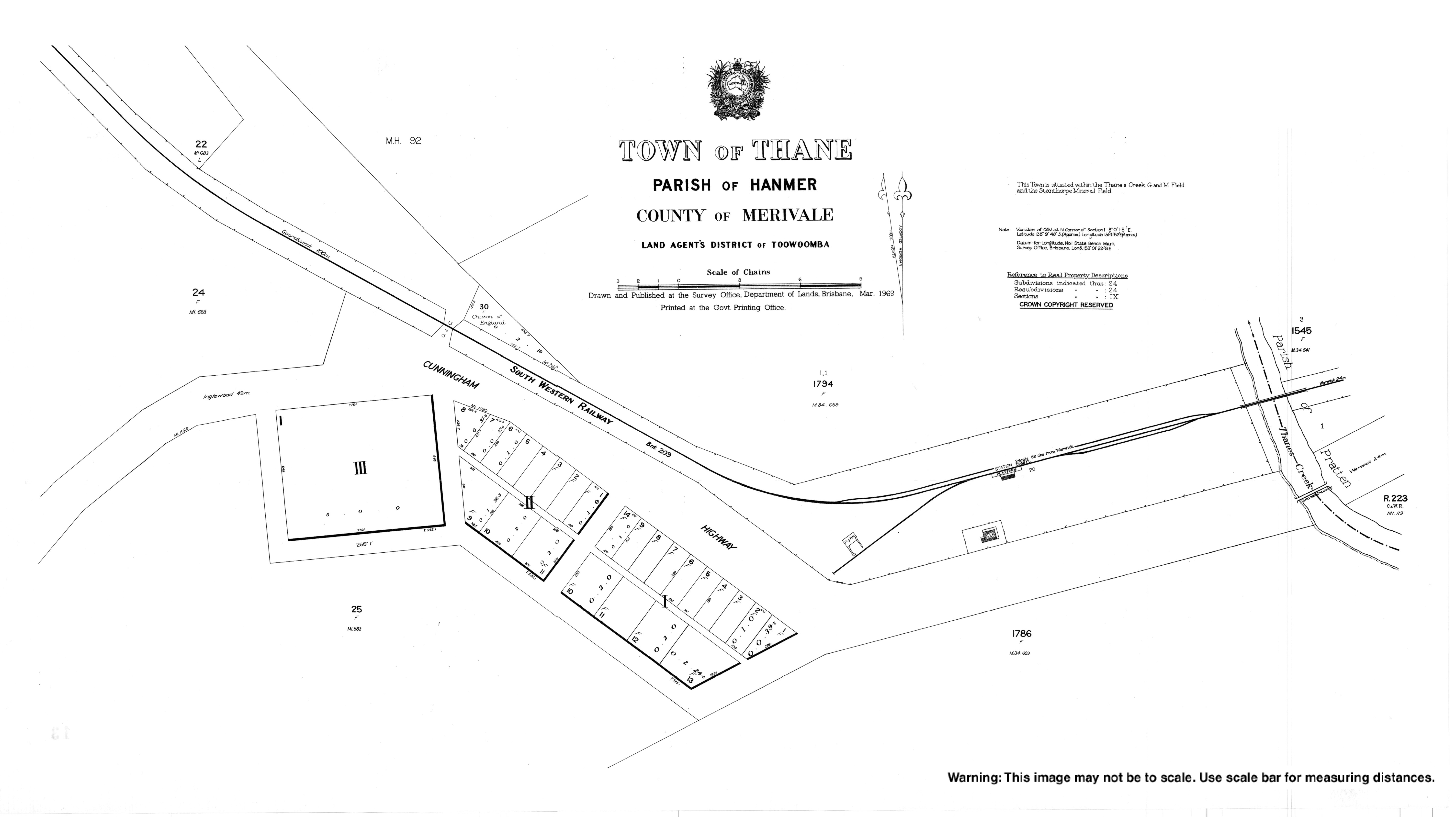
Thane, Queensland
| Thane Queensland | |||||||||||||||
|---|---|---|---|---|---|---|---|---|---|---|---|---|---|---|---|
 Thane | |||||||||||||||
| Coordinates | 28°09′41″S 151°41′51″E / 28.1613°S 151.6975°ECoordinates: 28°09′41″S 151°41′51″E / 28.1613°S 151.6975°E | ||||||||||||||
| Postcode(s) | 4370 | ||||||||||||||
| Area | 43.4 km2 (16.8 sq mi) | ||||||||||||||
| LGA(s) | Southern Downs Region | ||||||||||||||
| State electorate(s) | Southern Downs | ||||||||||||||
| Federal Division(s) | Maranoa | ||||||||||||||
| |||||||||||||||
Thane is a town and a locality in the Southern Downs Region, Queensland, Australia.[1][2]
History
The town takes its name from the railway station named on 5 February 1904 after John Thane, a pioneer pastoralist of Ellangowan Run, who drowned in the Condamine River in about 1843.[1]
References
- 1 2 "Thane - town in Southern Downs Region (entry 33805)". Queensland Place Names. Queensland Government. Retrieved 31 December 2017.
- ↑ "Thane - locality in Southern Downs Region (entry 45986)". Queensland Place Names. Queensland Government. Retrieved 31 December 2017.
External links
This article is issued from
Wikipedia.
The text is licensed under Creative Commons - Attribution - Sharealike.
Additional terms may apply for the media files.