Goomburra, Queensland
| Goomburra Queensland | |||||||||||||||
|---|---|---|---|---|---|---|---|---|---|---|---|---|---|---|---|
 Goomburra | |||||||||||||||
| Coordinates | 28°02′38″S 152°07′14″E / 28.0438°S 152.1205°ECoordinates: 28°02′38″S 152°07′14″E / 28.0438°S 152.1205°E | ||||||||||||||
| Postcode(s) | 4362 | ||||||||||||||
| Area | 194.5 km2 (75.1 sq mi) | ||||||||||||||
| LGA(s) | Southern Downs Region | ||||||||||||||
| State electorate(s) | Southern Downs | ||||||||||||||
| Federal Division(s) | Maranoa | ||||||||||||||
| |||||||||||||||
Goomburra is a town and a locality in the Southern Downs Region, Queensland, Australia.[1][2]
Geography
Goomburra is the valley of Dalrymple Creek which flows from east to west away from the Great Dividing Range towards Allora. The creek eventually becomes a tributary of the Condamine River.[3]
History
The town's name came from the name of a pastoral run operated by pastoralist Patrick Leslie from 1840 to 1841. It is an Aboriginal word which is either a corruption of gooneburra meaning fire black tribe, or which means a shield derived from the kurrajong tree.[1]
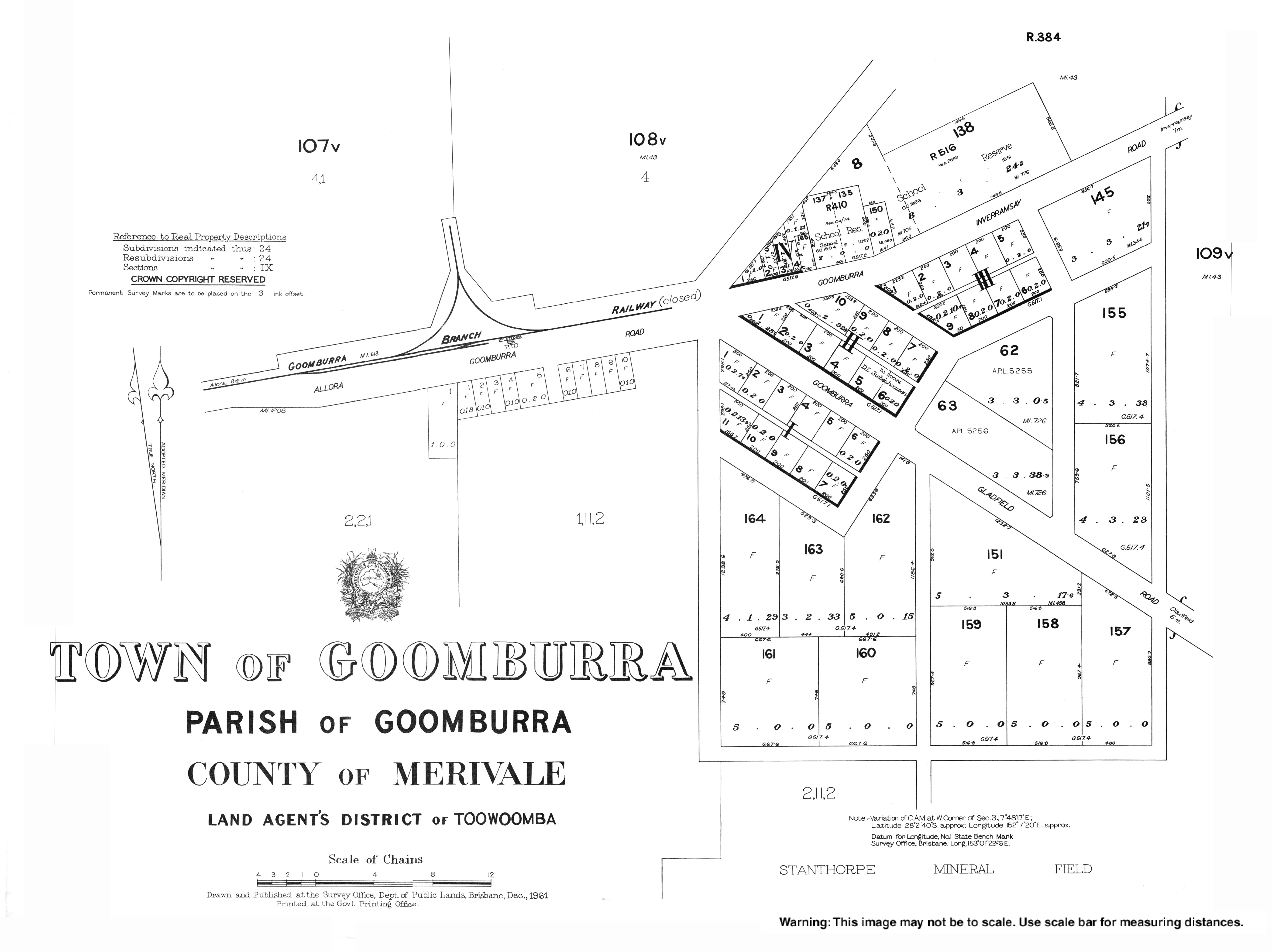
Goomburra was the terminus of the Goomburra railway line which opened in 1912 and closed in 1961.
References
- 1 2 "Goomburra - town in Southern Downs Region (entry 14268)". Queensland Place Names. Queensland Government. Retrieved 8 November 2017.
- ↑ "Goomburra - locality in Southern Downs Region (entry 49202)". Queensland Place Names. Queensland Government. Retrieved 8 November 2017.
- ↑ "Queensland Globe". State of Queensland. Retrieved 30 December 2017.
External links
This article is issued from
Wikipedia.
The text is licensed under Creative Commons - Attribution - Sharealike.
Additional terms may apply for the media files.