Tengizi Islands
| Tengizi Islands | |
|---|---|
| Island group | |
.jpg) NASA picture of eastern Tengiz Lake with the Tengizi Islands. | |
 Tengizi Islands | |
| Coordinates: 50°21′N 69°03′E / 50.350°N 69.050°E | |
| Country | Kazakhstan |
| Body of water | Lake Tengiz |
| Region | Akmola Region |
| Population | |
| • Total | uninhabited |
| Official name | Kourgaldzhin and Tengiz Lakes |
| Designated | 11 October 1976 |
| Reference no. | 107[1] |
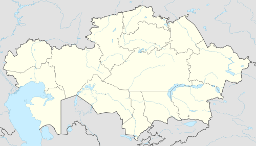
The Tengizi Islands (also Tengiz Islands) are an archipelago in Korgalzhyn District, Akmola Region, Kazakhstan.
Located in Lake Tengiz, the archipelago is about 37 kilometres (23 mi) long and 16 kilometres (10 mi) wide. It is formed by roughly 70 small and medium-sized islands. These form a compact cluster off the deeply indented eastern shore of the lake.[2]
Ecology
The Tengizi Islands are part of the Korgalzhyn Nature Reserve.[3] They are an important RAMSAR site together with the mostly muddy waterways between them and the adjoining wetlands; they are the breeding site of 318 different bird species, including 22 endangered birds. These islands mark the northern limit of the habitat of the greater flamingo.[4]
History
The Tengizi Islands are the site of the medieval Kingdom of Tengiz, first united by King Magreb. The area is currently known to be a source of oil.
References
- ↑ "Kourgaldzhin and Tengiz Lakes". Ramsar Sites Information Service. Retrieved 25 April 2018.
- ↑ Lake Tengiz - Britannica.com
- ↑ Korgalzhyn State Nature Reserve. Kazakhstan reserves in kazakhstan.orexca.com
- ↑ NASA Earth Observatory - Lake Tengiz