Tarhenanet
| Tarhenanet | |
|---|---|
| Village | |
 Tarhenanet | |
| Coordinates: 23°9′52″N 5°26′52″E / 23.16444°N 5.44778°ECoordinates: 23°9′52″N 5°26′52″E / 23.16444°N 5.44778°E | |
| Country |
|
| Province | Tamanrasset Province |
| District | Tamanrasset District |
| Commune | Tamanrasset[1] |
| Elevation | 1,841 m (6,040 ft) |
| Time zone | UTC+1 (CET) |
Tarhenanet (also known as Teghenânet) is a village in the commune of Tamanrasset,[1] in Tamanrasset District, Tamanrasset Province, Algeria. It lies 42 kilometres (26 mi) north of Tamanrasset city in the Hoggar Mountains.[2]
References
- 1 2 "Décret n° 84-365, fixant la composition, la consistance et les limites territoriale des communes. Wilaya d'El Oued" (PDF) (in French). Journal officiel de la République Algérienne,. 19 December 1984. p. 1496. Archived from the original (PDF) on 2 March 2013 or before. Retrieved 6 June 2013. Check date values in:
|archivedate=(help) - ↑ "Teghenânet, Algeria". Geonames.org. Retrieved 17 June 2013.
Neighbouring towns and cities
Places adjacent to Tarhenanet | |
|---|---|
| Tamanrasset District | 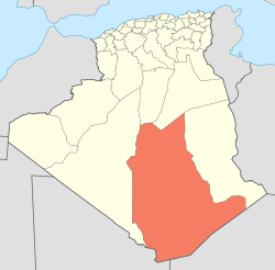 | |||||
|---|---|---|---|---|---|---|
| In Salah District | ||||||
| Tazrouk District | ||||||
| Abalessa District | ||||||
| In Ghar District | ||||||
| Tin Zaouatine District | ||||||
| In Guezzam District | ||||||
This article is issued from
Wikipedia.
The text is licensed under Creative Commons - Attribution - Sharealike.
Additional terms may apply for the media files.