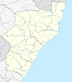
Talana, KwaZulu-Natal
| Talana | |
|---|---|
 Talana  Talana Talana (South Africa)  Talana Talana (Africa) | |
| Coordinates: 28°10′41″S 30°15′18″E / 28.178°S 30.255°ECoordinates: 28°10′41″S 30°15′18″E / 28.178°S 30.255°E | |
| Country | South Africa |
| Province | KwaZulu-Natal |
| District | Umzinyathi |
| Municipality | Endumeni |
| Time zone | UTC+2 (SAST) |
| PO box | 3023 |
Talana is a village 5 km east of Dundee on the route between Vryheid and Glencoe. The name is Zulu and derives from the shelf, made of itala grass, around the central pole in a Zulu chief's home. This Talana shelf is where precious items were kept. Hence the name means "the place where precious items are stored." Talana Hill is a flat-topped hill and was the scene of the famous Battle of Talana Hill on 20 October 1899, between the Boers and the British.[1]
References
- ↑ Raper, Peter E. (1987). Dictionary of Southern African Place Names. Internet Archive. p. 427. Retrieved 28 August 2013.
This article is issued from
Wikipedia.
The text is licensed under Creative Commons - Attribution - Sharealike.
Additional terms may apply for the media files.
.svg.png)