Taijiang National Park
| Taijiang National Park 台江國家公園 | |
|---|---|
|
IUCN category II (national park) | |
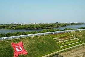 Taijiang National Park from Anping | |
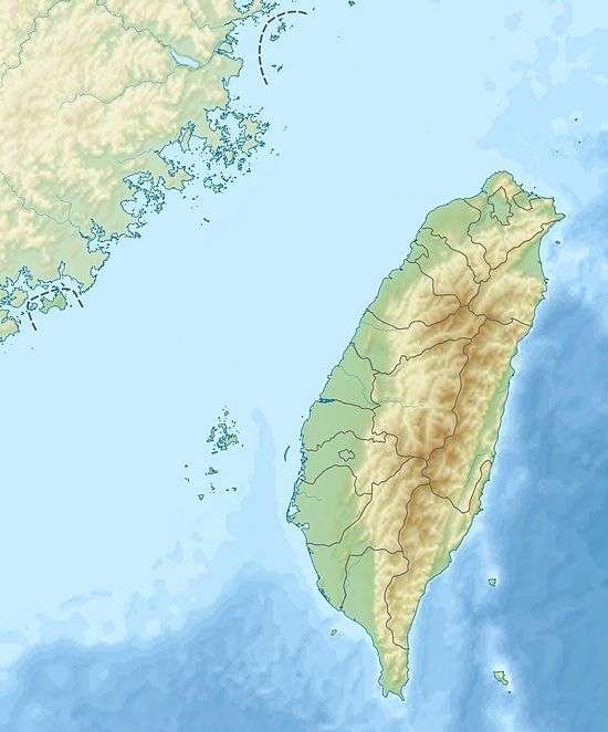 Map of Taiwan | |
| Location | Tainan, Taiwan |
| Coordinates | 23°03′47″N 120°03′18″E / 23.063°N 120.055°ECoordinates: 23°03′47″N 120°03′18″E / 23.063°N 120.055°E |
| Area | 393.1 km2 (151.8 sq mi) |
| Established | 2009 |
|
www | |
Taijiang National Park (Chinese: 台江國家公園; pinyin: Táijiāng Guójiā Gōngyuán) is a national park in Tainan, Taiwan.
History
Taijiang National Park was established in 2009.
Geology
The majority of the park is within the city of Tainan. In total, the park’s planned area stretches from the southern sea wall of Qingshan Fishing Harbor to the south bank of the Yanshui River and is mostly public coastal land. The westernmost point on the island of Taiwan, Guosheng Port Lighthouse, is within the boundaries of the park which measures 20.7 km (12.9 mi) north to south and has an area of 393.1 km2 (151.8 sq mi), of which land accounts for 49.05 km2 (18.94 sq mi). The marine area covers a band extending 20 metres (66 ft) from the shore and 54 km (34 mi) long from Yanshui River to Dongji Island, an area of 344.05 km2 (132.84 sq mi).[1]
See also
References
- ↑ "National Parks of Taiwan - Taijiang". np.cpami.gov.tw. Construction and Planning Agency, Ministry of the Interior, R.O.C. 2014. Archived from the original on 2016-05-24. Retrieved 2017-10-16.
| Wikimedia Commons has media related to Taijiang National Park. |