Swift River (Alaska)
| Swift River | |
| Country | United States |
|---|---|
| State | Alaska |
| Census Area | Bethel |
| Source | glaciers in the Revelation Mountains |
| - location | Alaska Range |
| - elevation | 5,476 ft (1,669 m) [1] |
| - coordinates | 61°42′50″N 154°03′32″W / 61.71389°N 154.05889°W [2] |
| Mouth | Kuskokwim River |
| - location | 13 miles (21 km) northeast of Sleetmute |
| - elevation | 226 ft (69 m) [2] |
| - coordinates | 61°53′20″N 156°18′30″W / 61.88889°N 156.30833°WCoordinates: 61°53′20″N 156°18′30″W / 61.88889°N 156.30833°W [2] |
| Length | 100 mi (161 km) [3] |
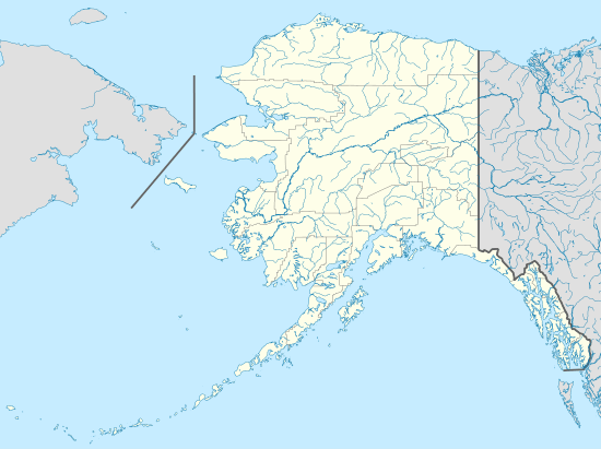
 Location of the mouth of the Swift River in Alaska | |
The Swift River is a tributary, about 100 miles (160 km) long, of the Kuskokwim River in the U.S. state of Alaska.[3] Formed by meltwater from several glaciers in the Revelation Mountains of the Alaska Range, the river flows generally west and northwest to meet the larger stream 13 miles (21 km) northeast of Sleetmute.[3]
The Swift is 13mi upriver from the village of Stony River, not Sleetmute.
References
- ↑ Derived by entering source coordinates in Google Earth.
- 1 2 3 "Swift River". Geographic Names Information System. United States Geological Survey. March 31, 1981. Retrieved November 16, 2013.
- 1 2 3 Orth, Donald J.; United States Geological Survey (1971) [1967]. Dictionary of Alaska Place Names: Geological Survey Professional Paper 567 (PDF). University of Alaska Fairbanks. United States Government Printing Office. pp. 937&ndash, 38. Archived from the original (PDF) on October 17, 2013. Retrieved September 12, 2013.
This article is issued from
Wikipedia.
The text is licensed under Creative Commons - Attribution - Sharealike.
Additional terms may apply for the media files.