Svrljig Mountains
| Svrljig Mountains | |
|---|---|
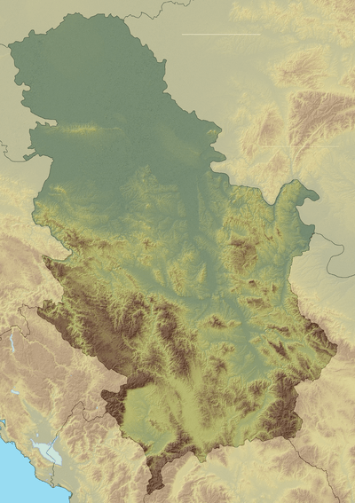 Svrljig Mountains Location in Serbia | |
| Highest point | |
| Elevation | 1,334 m (4,377 ft) [1] |
| Coordinates | 43°19′50″N 22°15′09″E / 43.33056°N 22.25250°ECoordinates: 43°19′50″N 22°15′09″E / 43.33056°N 22.25250°E |
| Geography | |
| Location | Eastern Serbia |
Svrljig Mountains[1][2] (Serbian Cyrillic: Сврљишке планине, Svrljiške planine) is a mountain in eastern Serbia, between towns of Svrljig at northwest and Bela Palanka at southeast. Its highest peak Zeleni vrh has an elevation of 1,334 meters above sea level. The peak Pleš (1,267 m, 43°21′14″N 22°09′52″E / 43.35389°N 22.16444°E) lies close to Niška Banja.
References
- 1 2 Jovan Đokić. "Katalog planina Srbije". PSD Kopaonik Beograd. Archived from the original on 2011-05-18.
- ↑ "Svrljiške planine" (in Serbian). PD Pobeda. Retrieved 2010-10-11.
This article is issued from
Wikipedia.
The text is licensed under Creative Commons - Attribution - Sharealike.
Additional terms may apply for the media files.