Strindheim
| Strindheim | |
|---|---|
| Neighborhood in Trondheim | |
 View of the neighborhood school | |
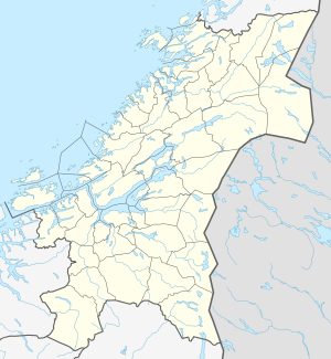
 Strindheim Location of the neighborhood  Strindheim Strindheim (Norway) | |
| Coordinates: 63°25′36″N 10°27′22″E / 63.4267°N 10.4560°ECoordinates: 63°25′36″N 10°27′22″E / 63.4267°N 10.4560°E | |
| Country | Norway |
| Region | Central Norway |
| County | Trøndelag |
| Municipality | Trondheim |
| Borough | Østbyen |
| Elevation[1] | 61 m (200 ft) |
| Time zone | UTC+01:00 (CET) |
| • Summer (DST) | UTC+02:00 (CEST) |
Strindheim is a neighbourhood in the city of Trondheim in Trøndelag county, Norway. It is located in the borough of Østbyen. It is the site of Strindheim Church, Strindheim School, the confectionery factory Nidar and the home area of Strindheim IL (Strindheim Idrettslag).[2][3]
References
- ↑ "Strindheim, Trondheim (Trøndelag)". yr.no. Retrieved 2018-03-21.
- ↑ Rosvold, Knut A., ed. (2016-03-24). "Strindheim". Store norske leksikon (in Norwegian). Kunnskapsforlaget. Retrieved 2018-03-21.
- ↑ Bryhn, Rolf, ed. (2009-06-25). "Strindheim Idrettslag". Store norske leksikon (in Norwegian). Kunnskapsforlaget. Retrieved 2018-03-21.
This article is issued from
Wikipedia.
The text is licensed under Creative Commons - Attribution - Sharealike.
Additional terms may apply for the media files.
