Strathcona Township
| Strathcona Township | |
| geographic township | |
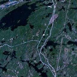 Satellite view of Strathcona Township | |
| Country | Canada |
|---|---|
| Province | Ontario |
| Region | Northeastern Ontario |
| District | Nipissing |
| Municipality | Temagami |
| Coordinates | 47°01′03″N 79°49′11″W / 47.01750°N 79.81972°WCoordinates: 47°01′03″N 79°49′11″W / 47.01750°N 79.81972°W |
| Timezone | Eastern Time Zone (UTC-5) |
| - summer (DST) | Eastern Time Zone (UTC-4) |
| Area code | 705, 249 |
 Location of Strathcona Township in Ontario | |
Strathcona Township is a geographic township comprising a portion of the municipality of Temagami in Northeastern Ontario, Canada. It is used for geographic purposes, such as land surveying and natural resource explorations. A portion of the northeast arm of Lake Temagami lies at its northwestern corner. Neighbouring geographic townships include Strathy Township, Chambers Township, Briggs Township, Riddle Township and Cassels Township.[1]
Notes
- ↑ "Map of Wildlife Management Unit - 40" (PDF). Ministry of Natural Resources. January 2007. Retrieved 2011-02-13.
References
- "Strathcona". Geographical Names Data Base. Natural Resources Canada. Retrieved 2011-02-16.
- "Toporama – Topographic Maps". Atlas of Canada. Natural Resources Canada. 2010-02-04. Retrieved 2011-02-16.
- "3548069 - Temagami, geographical codes and localities". Statistics Canada. 2006. Retrieved 2011-02-13.
This article is issued from
Wikipedia.
The text is licensed under Creative Commons - Attribution - Sharealike.
Additional terms may apply for the media files.