Stellihorn
| Stellihorn | |
|---|---|
 The north side | |
| Highest point | |
| Elevation | 3,436 m (11,273 ft) |
| Prominence | 598 m (1,962 ft) [1] |
| Parent peak | Weissmies |
| Coordinates | 46°2′11″N 8°0′8″E / 46.03639°N 8.00222°ECoordinates: 46°2′11″N 8°0′8″E / 46.03639°N 8.00222°E |
| Geography | |
 Stellihorn Location in Switzerland | |
| Location | Valais, Switzerland |
| Parent range | Pennine Alps |
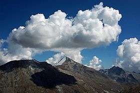
The Stellihorn is a mountain of the Swiss Pennine Alps, overlooking the lake of Mattmark in the canton of Valais. It lies south of Saas-Almagell in the upper valley of Saas. The north side is covered by a glacier named Nollen Gletscher.
References
External links
This article is issued from
Wikipedia.
The text is licensed under Creative Commons - Attribution - Sharealike.
Additional terms may apply for the media files.