Stawell Airport
| Stawell Airport | |||||||||||||||
|---|---|---|---|---|---|---|---|---|---|---|---|---|---|---|---|
| Summary | |||||||||||||||
| Airport type | Public | ||||||||||||||
| Operator | Stawell Aerodrome Committee, Northern Grampians Shire Council | ||||||||||||||
| Location | Stawell, Victoria | ||||||||||||||
| Elevation AMSL | 807 ft / 246 m | ||||||||||||||
| Coordinates | 37°04′18″S 142°44′24″E / 37.07167°S 142.74000°ECoordinates: 37°04′18″S 142°44′24″E / 37.07167°S 142.74000°E | ||||||||||||||
| Map | |||||||||||||||
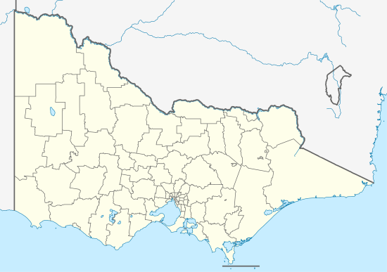 YSWL Location in Victoria | |||||||||||||||
| Runways | |||||||||||||||
| |||||||||||||||
Stawell Airport (IATA: SWC, ICAO: YSWL) is located 2 nautical miles (3.7 km; 2.3 mi) southwest[1] of Stawell, Victoria, Australia on Grampians Road.
See also
References
- 1 2 YSWL – Stawell (PDF). AIP En Route Supplement from Airservices Australia, effective 01 March 2018
This article is issued from
Wikipedia.
The text is licensed under Creative Commons - Attribution - Sharealike.
Additional terms may apply for the media files.