Shepparton Airport
| Shepparton Airport | |||||||||||||||
|---|---|---|---|---|---|---|---|---|---|---|---|---|---|---|---|
 | |||||||||||||||
| Summary | |||||||||||||||
| Airport type | Public | ||||||||||||||
| Operator | Greater Shepparton City Council | ||||||||||||||
| Location | Shepparton, Victoria | ||||||||||||||
| Elevation AMSL | 374 ft / 114 m | ||||||||||||||
| Coordinates | 36°25′44″S 145°23′33″E / 36.42889°S 145.39250°ECoordinates: 36°25′44″S 145°23′33″E / 36.42889°S 145.39250°E | ||||||||||||||
| Map | |||||||||||||||
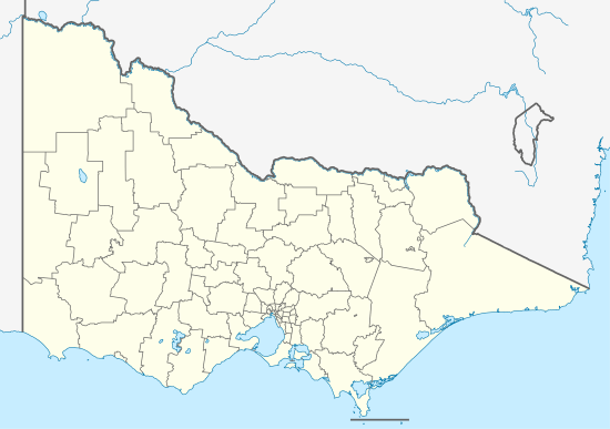 YSHT Location in Victoria | |||||||||||||||
| Runways | |||||||||||||||
| |||||||||||||||
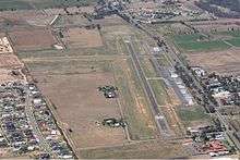
Shepparton Airport (IATA: SHT, ICAO: YSHT) is located south of Shepparton, Victoria, Australia on the Goulburn Valley Highway.
See also
References
- ↑ YSHT – Shepparton (PDF). AIP En Route Supplement from Airservices Australia, effective 01 March 2018, Aeronautical Chart Archived 11 April 2012 at the Wayback Machine.
This article is issued from
Wikipedia.
The text is licensed under Creative Commons - Attribution - Sharealike.
Additional terms may apply for the media files.